Spatial Data Analysis in GIS
Spatial data exploration involves interacting with a collection of data and maps, which enables you to visualize and explore geographic information (GIS) and analytical results.
The Spatial data exploration involves working with interactive maps and related tables, charts, graphs, and multimedia. This integrates the geographic perspective with statistical information in the attributes. It’s an iterative process of interactive exploration and visualization of maps and data.
Table of Contents
Spatial Data Exploration
Spatial Data in ArcGIS
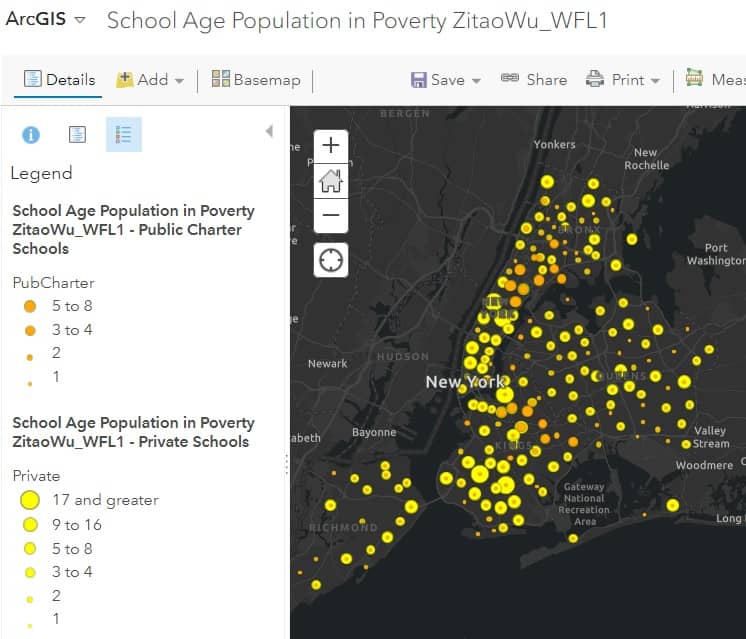
Mapping is one of the key ways that data exploration is carried out in ArcGIS webmap.

Download Spatial Data
Download free Geospatial Data for any country in the world.
Sources :
- DIVA-GIS
- Learn more about, how to Download Country Level Spatial Data.
- USGS- TNM Download
- Learn more about, how to Download Data & Maps from The National Map Viewer.
- Open Street Map (Geofabrik’s)
Download Spatial Data Open Street Map
The best source to download Geo-Spatial Data is Open Street Map (Geofabrik’s).
Geofabrik’s is a free download server has data extracts from the OpenStreetMap project.
Select your continent and then your country of interest. See the steps below:
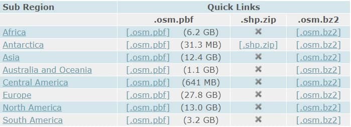
1. Once you have open Geofabrik’s server, see the available continent list.

2. Click your require Sub Region (eg.- North America)
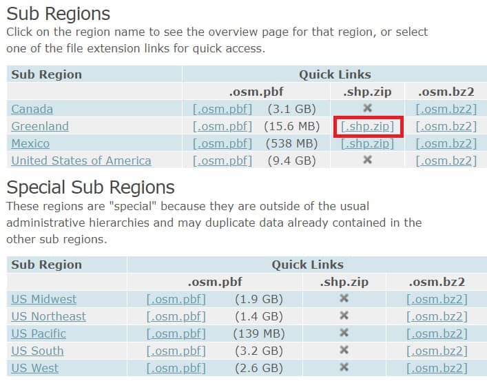
3. Now open the North America page, select Region, and click [.shp.zip] (eg.- Greenland).

4. Your data download in ZIP archive file format.
5. Once you have extract the zip file, show all the Spatial (Shapefiles/Vector) GIS data.
