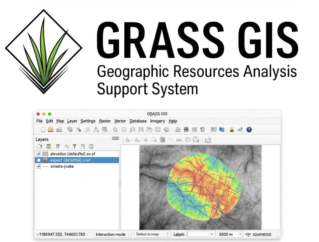
GRASS GIS- Geographic Resources Analysis Support System
GRASS GIS is Free and Open-Source GIS Software released under the terms of the GNU General Public License. It is also a founding member and an affiliated project of the Open Source Geospatial Foundation (OSGeo).
What is GRASS GIS?
GRASS GIS stands for Geographic Resources Analysis Support System. It is a Geographic Information System (GIS) technology built for vector and raster geospatial data management and analysis in a single integrated software suite.
Also, the software allows geoprocessing, image processing, spatial modelling and visualization, producing graphics and maps. It has been optimized for performance and large geospatial data analysis.
GRASS-GIS contains over 500 modules to process and render geographic data.
Overview
| Feature | Description |
|---|---|
| 📊 Raster & Vector Support | Handles complex raster and vector analysis, including time series and 3D. |
| 🧪 Geospatial Modeling | Advanced spatial modeling with scripting and GUI tools. |
| 🖥️ Cross-platform | Runs on Linux, Windows, and macOS. |
| 🔗 Integration | Can be used from QGIS, Python, or command line. |
| 🧬 Temporal Framework | Manage and analyze time series of raster / vector data. |
Download GRASS GIS Software
GRASS GIS runs on Windows, Mac, Linux, and Docker. It comes with both an intuitive graphical user interface (GUI) and a command line syntax useful for automation and production.
For Windows
For Mac
For Linux
For Docker
Tutorial
You are launching GRASS GIS in your machine, that will be open a default Location “world_lat-log_wgs84” where you can find a map layer called “country_boundaries” showing a world map in the WGS84 coordinate system.
The main component in GRASS GIS software Data tab and Data Catalog, consisting of Database, Location, and Mapset.
Database
GRASS Database (directory with projects) Running GRASS GIS for the first time, a folder named “grassdata” is automatically created. Depending on your operating system, you can find it in your $HOME directory (*nix) or My Documents (MS Windows).
Location
A Location is defined by its coordinate reference system (CRS). In the case of the default Location, it is a geographic coordinate reference system WGS84 (EPSG:4326). If you have data in another CRS than WGS84, you should create a new Location corresponding to your system.
Map-set
Each Location can have many Mapsets for managing different aspects of a project or project’s subregions. When creating a new Location. The software automatically creates a special Map set called PERMANENT where the core data for the project can be stored.
Applications
- Land use and land cover classification
- Hydrological modeling (watershed, flow, etc.)
- Terrain analysis (slope, aspect, curvature)
- Remote sensing and image processing
- Change detection and time-series analysis
- Network analysis and cost surface computation