Best GIS & Remote Sensing Books
In this article, we will discuss about, best GIS and Remote Sensing Books.
List of GIS and Remote Sensing textbook in below:
Reference Books of Geographical Information System (GIS)
- Principles of Geographical Information Systems for Land Resource Assessment — P. A. Burrough.
- Geographical Information Systems – Principles Vol.1 — Goodchild.
- Fundamentals of Spatial — Robert Laurini and Derek Thompson.
- Fuzzy sets and fuzzy logic — George J. Klir and Bo Yuan
- Fuzzy and Neural Approaches in Engineering — Lefteri H. Tsoukalas and Robert E. Uhrig
- Principles of Geographical Information System for Land Assessment — P. A. Burrough
- Geographic Information Systems for Geoscientists — Bonhan – Carter G. F.
- International Journal of Geographical Information Science.
- International Journal of Remote Sensing
- GIS Asial Pacific (Magazine)
- GIS Development (Magazine)
- GIS India (Magazine)
- Understanding GIS the ARC/INFO Method Ver7.1.
- ILWIS 2.2 User Guide
Reference Books of Global Navigation Satellite System (GNSS)
- Global Positioning System: Theory and Applications — B.W Parkinson, James J. Spilker
- GPS Satellite Survey — Alfred Leick.
- GPS Theory, Algorithm and Applications — Gouchang Xu.
- Global Positioning: Technology and Performance — Nel Samama.
Reference Books of Digital Image Processing (DIP)
- On The Atmospheric Correction for a Hyperion Scene Taiwan — Shih, T. Y.
- Introduction to Hyperspectral Image Analysis — Shippert, P.
- Advanced Image Processing Techniques for Remotely Sensed Hyperspectral data — Varshney, P. K. and Arora, M. K.
- Remote Sensing and Image Interpretation — Lillesand, T.M. and Kiefer. R. W.
- Spectral Mixture Analysis of Hyperspectral Data — Tseng, Y. H.
Reference Books of Photogrammetry and Cartography
- GPS Satellite Surveying — Alfred Leick
- Spaceflight Dynamics — William E. Wiesel
- Photogrammetry — F H Moffitt, E M Mikhail, Harper & Row Publishers, New York, 1980.
- Computer-assisted Cartography: Principles and Prospects — Monimonier Mark S.
- Visualization in Modern Cartography — MacEachren Alan M and Taylor DR Fraser.
- Geographic Visualization: Concepts, Tools and Applications — Martin Dodge, Mary McDerby and Martin Turner.
- Thematic Cartography and Visualization — Slocum Terry A.
- Multimedia Cartography — Cartwright, William, Peterson, Michael P. and Gartner, Georg.
- Analytical and Computer Cartography — Clarke Keith C.
- Cartography: Visualization of Geospatial Data — Kraak Menno-Jan and Ormelling Ferjan.
- Digital Cartography — Cromley Robert G./li>
- Display and Analysis Of Spatial Data — Davis John C, and McCullagh Michael.
- Elements of Cartography — Robinson H, Arthur, Morrison, Joel L and Muehrcke Phillip C.
- Geographic Information Systems and Cartographic Modeling — Tomlin Dana C
- Geographical Information Systems and Computer Cartography — Jones Christopher B.
- Elements of Cartography — Robinson, A.; Morrison, J.; Muehrke, P.; Kimmerling, A.; & Guptill, S.
- Thematic Cartography and Transformations — Cauvin, Colette, Escobar, Francisco and Serradj, Aziz.
- Web Cartography: Developments and Prospects — Kraak Menno Jan and Brown Allan.
- An overview of data pre-processing of remotely sensed data – A tutorial on Image Pre-Processing’ by A. R. Dasgupta, GD, IPDPG, SAC delivered at ISPRS Commission I conference during February 1998, at Bangalore.
- Specifications of data products and their relation with sensor and platform characteristics – A tutorial on ‘Image Pre-Processing’ by Dr. P. K. Srivastava, IPPD/IPDPG/SAC delivered at ISPRS Commission I conference during February 1998, at Bangalore.
- SPOT Stereo Data Processing: Determination of Digital Terrain Model from SPOT stereo pairs, Mathematical formulation and functional design, P. K. Srivastava, T. G. B. Srikant, T. P. Srinivasan, M. P. T. Chamy, P. M. Udani, IPDPG/IPPD/SAC/DP-02/89.
- MOMS Data Users Handbook
- MEOSS Users Handbook, July 1988
- IRS-1D data users hand book, 1997
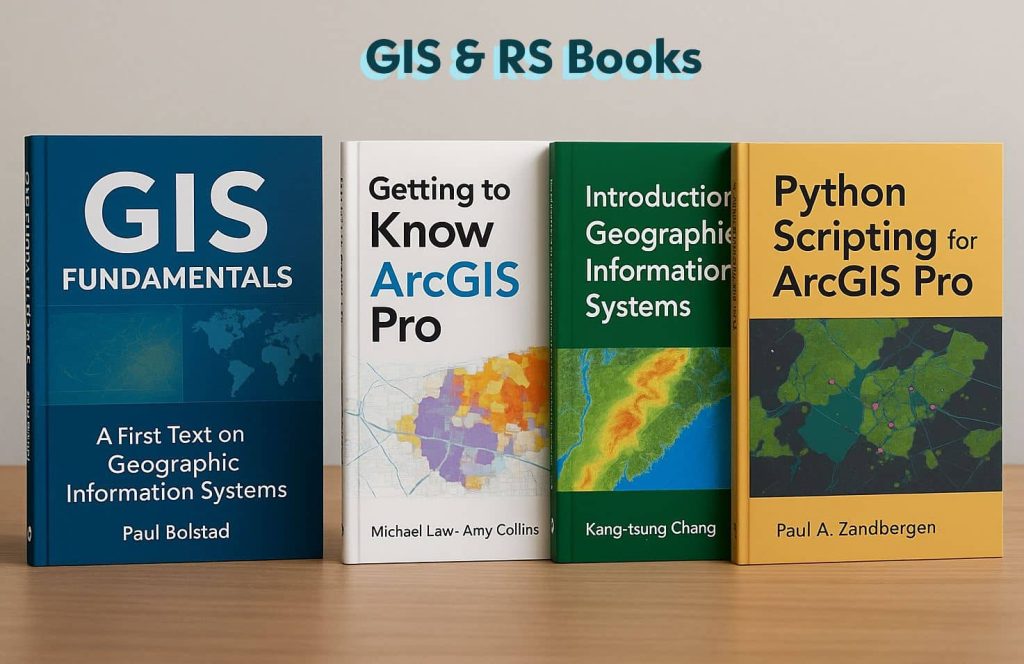
Buy Best GIS, RS & ArcGIS Books on Amazon
Category I- GIS Books
For USA:
Title
Thumbnail

Price
$38.36
$5.86
$52.28
Buy Now
Title
Thumbnail
Price
$38.36
Buy Now
Title
Thumbnail
Price
$5.86
Buy Now
For India:
Title
Thumbnail
Price
$44.97
$52.28
$16.29
Buy Now
Category II- Remote Sensing Books
For USA:
Title
Thumbnail

Price
$31.41
$44.76
$97.61
Buy Now
Title
Thumbnail
Price
$44.76
Buy Now
For India:
Title
Thumbnail

Price
$38.35
Buy Now
Category III- ArcGIS & ArcGIS Pro Books
For USA:
Title
Thumbnail


Price
$12.45
$31.96
$35.50
$70.52
$37.99
Buy Now
Title
Thumbnail
Price
$37.99
Buy Now
For India:
Title
Thumbnail

Price
$12.45
$31.96
$21.20
$70.52
$105.65
Buy Now