GIS Data

GIS integrates many different kinds of data layers using spatial location. Most data has a geographic component. GIS data includes imagery, features, and basemaps linked to spreadsheets and tables.

Vector Data

Vector Data 
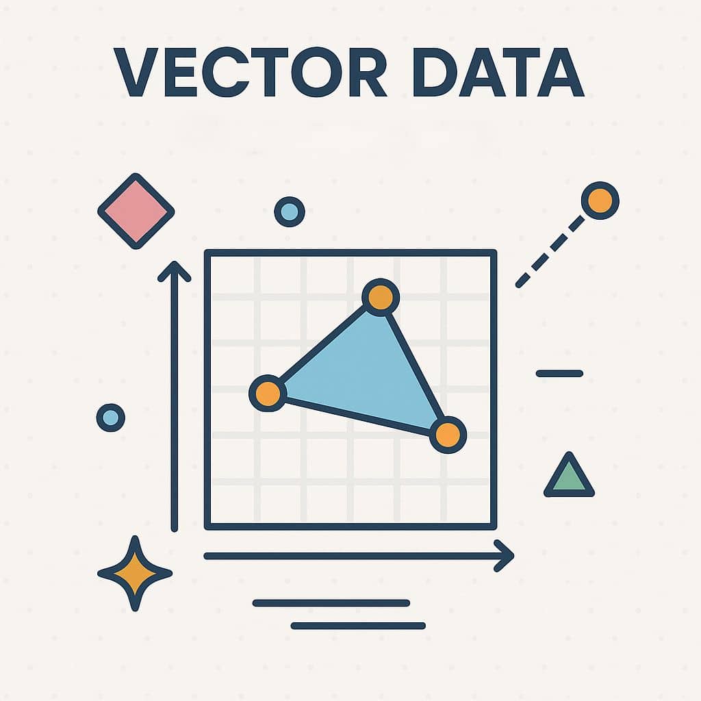
What is Vector Data? A Vector data feature its represent shape using Geometry. The geometry is made up of one or more interconnected vertices. A vertex describes a position in space using an X, Y and optionally Z axis. Geometries which have vertices with a Z axis are often referred to as 3D […]

Vector Data Read More »

Raster Data

Raster Data What is Raster Data? Raster data represent real world data, within the GIS environment. Its consists of a matrix of cells (pixels) organized into rows and columns (grid) where each cell contains a value representing information. Raster database represents continuous data such as Elevation, Slope, Surface. Raster Database are Digital Aerial Photographs, Satellites imagery, Digital pictures,

Raster Data Read More »

Download Shapefile

Downloading Shapefiles: A Complete Guide to GIS Data Access In this tutorial discuss about, How to Download free Geographic (GIS) Shapefile Data in DIVA-GIS. DIVA-GIS is a free web service for downloading mapping and geographic data analysis. Its provide free spatial data for the whole world. It is developed by Robert J. Hijmans. Earlier versions

Download Shapefile Read More »

GIS Data Models

Spatial Data Models in GIS In Geographic Information Systems (GIS), spatial data models serve as a framework for digitally representing the real world. It defines how different elements of geographic information are structured, stored, and related to each other within a GIS database. These models capture the geometry (e.g., shape, location) and attributes (e.g., name,

GIS Data Models Read More »

Spatial Data in GIS

Spatial Data Analysis in GIS Spatial data exploration involves interacting with a collection of data and maps, which enables you to visualize and explore geographic information (GIS) and analytical results. The Spatial data exploration involves working with interactive maps and related tables, charts, graphs, and multimedia. This integrates the geographic perspective with statistical information in

Spatial Data in GIS Read More »

Scroll to Top