GIS in India
India is a vast country, with a population of approx than 14 million people spread over 3.3 million square kilometers. The country is composed of more than 7,000 cities and 600,000 villages.
ISRO (Indian Space Research Organisation) has a vibrant Indian Remote Sensing (IRS) program since 1988 with a gamut of Indian Remote Sensing Missions observing Earth with Optical, microwave and Hyper-spectral instruments flown on board to provide necessary data in various Spatial, Spectral and Temporal resolutions to cater to different user requirements in the country and for global usage.
NRSC (National Remote Sensing Centre) is the nodal centre for hosting Satellite Data Products from more than 13 IRS satellites right from the first IRS optical mission namely IRS-1A and SAR (Synthetic Aperture Radar) imaging missions.
NRSC Data archive is extensively utilized for Land use and land cover monitoring, Ocean studies, weather applications and Scientific research.
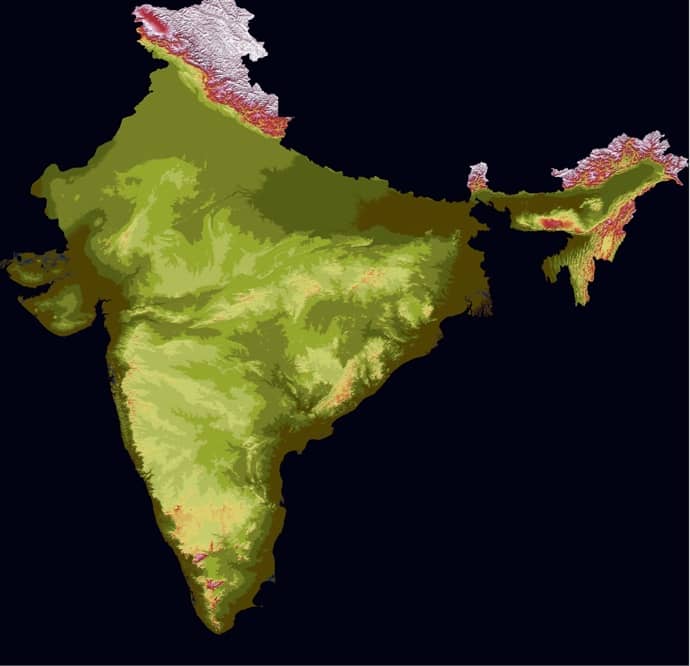
Table of Contents
Indian Satellites & Data Products
| S.No | Product | Date Availability | Data Presentation Form | Product Description |
|---|---|---|---|---|
| 1 | Resourcesat-2 Liss-3 Standard Georeferenced Product | 08 May 2011 till date | TIFF | Resourcesat-2 L1B, improved spectral and spatial coverage |
| 2 | IRS 1C Liss-3 Standard Georeferenced Product | 14 Nov 1996 to 20 Sep 2007 | TIFF | IRS 1C LIS3 provides data for integrated land and water resources management at the micro level, with improved spectral and spatial coverage |
| 3 | IRS 1C AWiFS Standard Georeferenced Product | 04 Oct 1999 to 20 Sep 2007 | TIFF | IRS 1C WIFS provides data for integrated land and water resources management at the micro level, with improved spectral and spatial coverage |
| 4 | IRS 1D AWiFS Standard Georeferenced Product | 01 Jan 1998 to 31 Oct 2009 | TIFF | IRS 1D WIFS provides data for integrated land and water resources management at the micro level, with improved spectral and spatial coverage |
Microwave
Imaging Sensors
| Satellite / Sensor | Imaging Mode | Resolution | Data Availability |
|---|---|---|---|
| RISAT–1 / C- Band SAR | FRS 1 | 3 m | 01-Jul-2012 to 30-Sep-2016 |
| FRS 2 | 9 m | ||
| MRS | 24 m | ||
| CRS | 48 m |
Non-Imaging Sensors
| Sl No. | Satellite/Sensor | Non-Imaging Mode | Resolution | Data Availability |
|---|---|---|---|---|
| 1 | OSCAT | Ku-band | 50 km 25 km | 09-Feb-2010 to 01-Mar-2014 |
| 2 | SCATSAT-1 | Ku band Scatterometer | 50 km 25 km | 26-May-2017 onwards Release of SCATSAT-1 V1.1.4 data products |
| 3 | SARAL | ka-band radar altimeter | 01-Nov-2014 onwards |
Optical High Resolution
| Satellite | Sensor | Resolution | Data available from |
|---|---|---|---|
| Cartosat 3 | Pan | 0.28m | 15-Feb-2020 |
| Cartosat 3 | MX | 1.12m | 15-Feb-2020 |
| Cartosat-2 Series | Pan | 0.65 m | 01-Aug-2016 |
| Cartosat-2 Series | MX | 1.6 m | 01-Aug-2016 |
| CARTOSAT-2B | PAN | 1 m | 13-Jul-2010 |
| CARTOSAT-2A | PAN | 1 m | 29-Apr-2008 |
| CARTOSAT-2 | PAN | 1 m | 14-Apr-2007 |
| CARTOSAT-1 | PAN-F | 2.5 m | 08-May-2005 to 31-Jan-2019 |
| CARTOSAT-1 | PAN-A | 2.5 m | 08-May-2005 to 31-Jan-2019 |
| CARTOSAT-1 | Stereo | 2.5 m | 08-May-2005 to 31-Jan-2019 |
| CARTOSAT-1 | Widemono | 2.5 m | 27-May-2005 to 31-Jan-2019 |
Hyperspectral
| Satellite | Sensor | Resolution | Data availability from |
|---|---|---|---|
| IMS-1 | VNIR | 500m | 02-Jan-2009 |
India GIS Data
ISSDC (Indian Space Science Data Center) is the primary data center for the payload data archives of ISSM (Indian Space Science Missions)
Data for Space Science missions:
ESRI India GIS Map
Search Esri India products and services
State wise GIS Map & Data in India
- Andhra Pradesh
- Arunachal Pradesh
- Assam
- Bihar
- Chhattisgarh
- Delhi
- Goa
- Gujarat
- Haryana
- Himachal Pradesh
- Jammu and Kashmir
- Jharkhand
- Karnataka
- Kerala
- Madhya Pradesh
- Maharashtra
- Manipur
- Meghalaya
- Mizoram
- Nagaland
- Odisha
- Punjab
- Rajasthan
- Sikkim
- Tamil Nadu
- Telangana
- Tripura
- Uttar Pradesh
- Uttarakhand
- West Bengal
GIS Companies in India
List of GIS Company in India Major Cities