Popular Sources to Download Free Satellite Imagery Data
Some Authority websites is provided Satellite Imagery Data, it has been Landset, Elevation, Rader, Aerial Imagery, etc data. Download Free Satellite Imagery Data Sources and use to your project. In Below list of best Satellite Imagery Data Sources sites.
List of Satellite Imagery Data Source
1. Earth Explorer- USGS
Earth Explorer USGS is one of the largest free sources of data.
United State Geological Survey (USGS) Earth Explorer Providing real-time or near real-time data and information on current conditions and earth observations. Download different types of Data- Landsat, Elevation, Aerial, Radar, Hyperspectral Data.
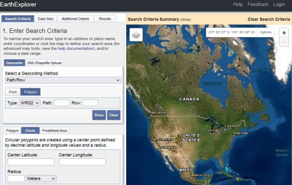
Data Types–
- Satellite data
- Landsat
- SPOT
- IKOSOS-2
- OtbView-3
- AWiFS
- LISS-3
- Land cover
- Radar
2. Bhuvan Indian Geo-Platform- ISRO
Bhuvan Indian Geo-Platform of ISRO has been Provided all categories of Data for India. It’s view to 2D, 3D in India, also available different types of services- Thematic, Ocean, Climate, Agriculture, Forestry, Urban and many others.
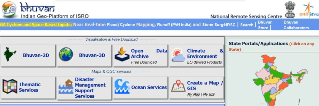
Data Types–
- Resourcesat
- Hyperspectral
- Oceansat
- Cartosat
3. NASA Earthdata
NASA Earth Science Data Systems (ESDS) program oversees the life cycle of NASA’s Earth science data—from acquisition through processing and distribution. ESDS Provided several different web-based options for searching and downloading datasets from all of NASA’s data collections.
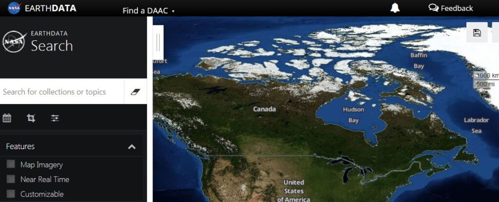
Data Types–
- Atmospheric data
- High-Resolution data
- Real-time satellite data
- World satellite data
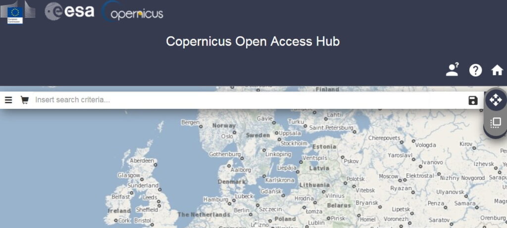
4. Sentinel Open Access Hub
Sentinel Open Access Hub their operational focus and the Copernicus Thematic area they support. Particular care was given to your understanding of the instruments, the performance of the data products including scientific applications, the Ground Segment processing, and guidance on accessing Sentinel data.
Data Types–
- Sentinel data
- Sentinel-1
- Sentinel-2
- Sentinel-3
- Sentinel-5P
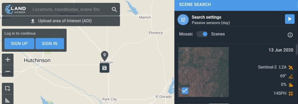
5. EOS-Land Viewer
LandViewer is a simple, intuitive web interface that EOS provides as a direct market product to the public. Land Viewer allows non-expert users to select a Geographic area for analysis, an Earth observation data types, and then apply their choice of on-the-fly imagery analytics.
Data Types–
- High-Resolution satellite images
- IKONOS-2
- OrbView-3
- Historical SPOT data
- Satellite
- EOS SAT
- Sentinel 2
- Landsat 8