Summary: –
QGIS tutorial provides step-by-step guidance on using QGIS software for mapping, analyzing, data editing, and creating and sharing Web Maps. It typically covers: QGIS basic operations, and QGIS Tutorials for Beginners and Advanced.
QGIS Tutorial for Beginners and Experts
QGIS is a Free and Open-Source Geographic Information System (GIS) Software.
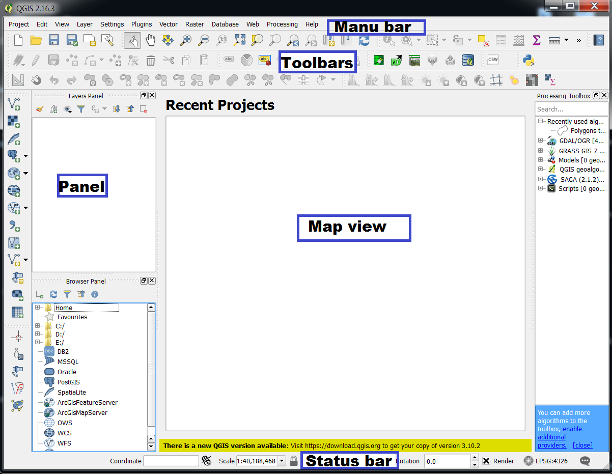
Basic QGIS Operations
QGIS Tutorial for Beginners
- Perform Image to Image Georeferencing
- Perform Ground to Image Georeferencing
- Create Shapefile (Vector file)
- Digitization (Raster 2 Vector Conversion)
- Labels
- Layout