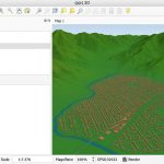
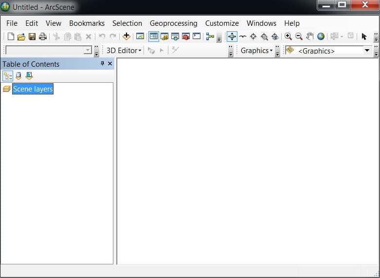
ArcGIS Scene
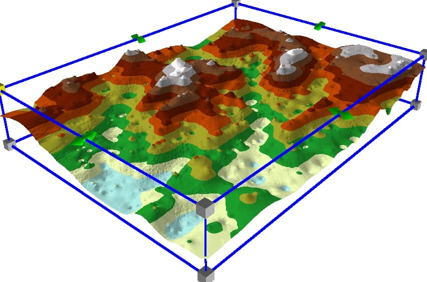
ArcScene is a 3D visualization application that allows you to view your GIS data in three dimensions.
Introducing ArcScene
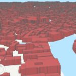
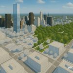
ArcScene is a 3D visualization application that is part of Esri’s ArcGIS application. ArcGIS Scene most applicable to analyze complex 3D line symbology, texture mapping, ground depth, as well as surface creation and display of TINs.
Key Features of ArcScene:
- 3D Visualization
- Displays 2D and 3D GIS data in a 3D environment.
- Works well with raster, vector, and TIN (Triangulated Irregular Network) datasets.
- Elevation and Extrusion
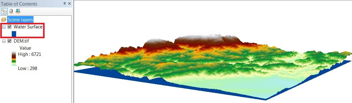
- Apply elevation surfaces (like DEMs).
- Extrude features like buildings based on attribute values (e.g., height).
- Scene Layers
- Combine layers like terrain, satellite imagery, and vector data in a 3D scene.
- Navigation Tools
- Easy zoom, pan, rotate, and fly-through tools for exploring the 3D scene.
- Symbology & Animation
- Customize symbology for better visualization.
- Animate objects or camera paths through a scene.
- Analysis Tools
- Perform line-of-sight, viewshed, and surface analysis.
Toolbars and Tools
The Standard Tools is the main toolbar in ArcGIS. This toolbar offers you to Add data, Save, Open, Print, also provide to 4 impotent features:

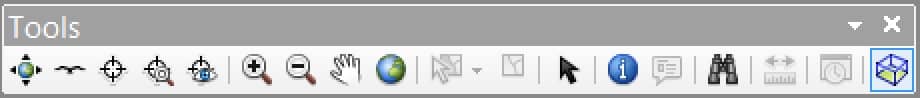
Another importent toolbar Tools, helps you to map Navigate, Fly, Identify, Zoom in/out, Pan, and other features.
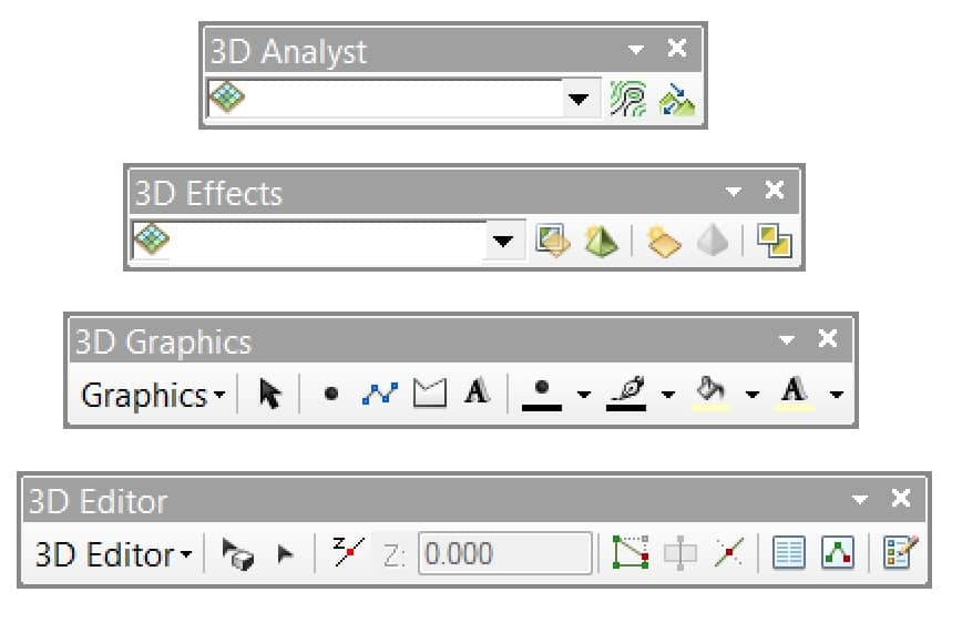
3D Analyst
In ArcGIS Scene four 3D Analyst toolbar, helps you to perform 3D graphics and editor.
ArcScene Tutorial
Learn more ArcGIS Scene:
What is the difference between ArcScene and ArcGlobe
| ArcScene | ArcGlobe |
|---|---|
| Terrain surfaces is Not supported | Terrain surfaces is supported |
| Allow 3D Analyst Toolbar, like contour, steepest path, line of sight, profile, etc. | Not Allow 3D Analyst Toolbar |
| Supported LAS datasets | Not supported LAS datasets |
| VRML file support for import and export | VRML file support only for import |
| Can not be Display of KML data | Allow to Display of KML data |