ArcGIS for AutoCAD Tutorial
Introduction
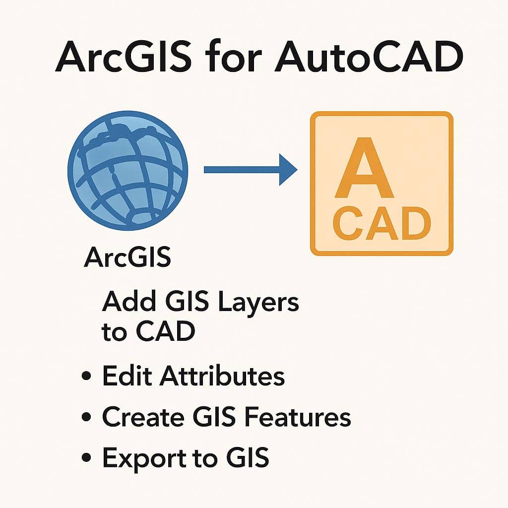
ArcGIS for AutoCAD is a free plugin that simplifies the way you share and synchronise GIS content between AutoCAD and ArcGIS.
You can easily access to enterprise GIS maps, map services, image services, and feature services in AutoCAD environment.
It is allows you to access and create GIS data by connecting to services from ArcGIS for Server and ArcGIS Online.
Also you can edit ArcGIS data that has been stored locally within the AutoCAD drawing or exported from ArcGIS for Desktop.
Benefits:
- Seamlessly integrate GIS context into CAD workflows
- Enhance collaboration between GIS analysts and CAD professionals
- Eliminate duplication of effort with real-time data access
- Ensure data accuracy and consistency across platforms
Usage:
- Access GIS maps, imagery, features services and sources within AutoCAD.
- Streamline information sharing between GIS and CAD groups.
- View live, rich cartographic GIS maps in AutoCAD.
- Include the results of GIS analysis in AutoCAD designs.
- Add imagery to your AutoCAD drawing.
- Create, manipulate, and define
- How CAD data is organized and attributed as GIS content
Download
Download Now, ArcGIS for AutoCAD
ArcGIS for AutoCAD 410
Version 410 was released in May 2022 and contains several enhanced capabilities, simplified workflows, and adds some powerful new functionality.
You can enable your CAD data to be leveraged and edited in field applications like ArcGIS Field Maps. Field workers can add new features, change attributes, and attach photos on the worksite.
This includes publishing, editing, and viewing of GIS data directly from within the Autodesk CAD desktop.
The Autodesk Connector for ArcGIS in Civil 3D is a great tool designed for the Civil Engineer that wants to add ArcGIS data as context for their civil project. Leveraging the GIS data as advanced Civil 3D object types like cogo points, feature lines, and alignments.
Tutorials
Follow all the youtube videos to help you succeed:
- Setting a coordinate system and adding a map
- Adding a web feature layer
- Add subscription content from AGOL
- Edit web feature layers
- Browse enterprise portal for layers
- Working with document feature layers
- Organize CAD drawing with Industry Templates
- Create A Custom Template
- Share CAD data to a Hosted Feature layer
- Generate CAD labels from GIS Attributes
- Create feature – data creation tool in ArcGIS for AutoCAD