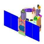
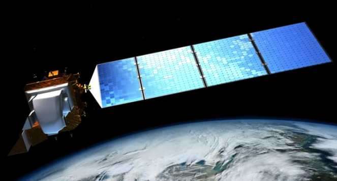
Landsat-8 Satellite
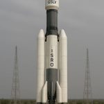
Landsat 8 Satellite launched 11 February on the year 2013, from Vandenberg Air Force Base, California on an Atlas-V 401 Rocket from United Launch Alliance. It was developed as a collaboration between NASA and the U.S. Geological Survey (USGS).
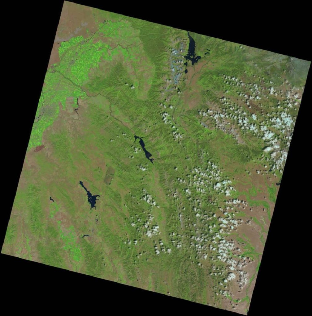
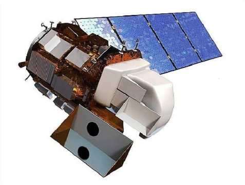
The satellite carries of 2 science instruments; i) Operational Land Imager (OLI) and ii) Thermal Infrared Sensor (TIRS). These two sensors provide seasonal coverage of the global landmass at a spatial resolution of 30 meters (visible, NIR, SWIR); 100 meters (thermal); and 15 meters (panchromatic). The OLI measures in the visible, near infrared, and shortwave infrared portions of the spectrum. The TIRS measures land surface temperature in thermal bands.
Satellite Orbit
- Orbits the Earth in a sun-synchronous, near-polar orbit (98.2 degrees inclination)
- Altitude of 705 km (438 mi)
- Completes one Earth orbit every 99 minutes
- Has a 16-day repeat cycle with an equatorial crossing time of 10:00 a.m. +/- 15 minutes
Spacecraft Overview
- Altitude: 705 km
- Weight: 2,071 kg
- Length: 3 m
- Diameter: 2.4 m
- Inclination: 98.2°
- Orbit: polar, sun-synchronous
- Data: 12-bit scaled to 16-bit integers
- Data rate: X-band frequency–384 Mbps, S-band frequency- 260.92 Mbps
- Equatorial Crossing Time: nominally 10 AM (± 15 min.)
Band Combinations
Landsat-8, band combinations displayed as a red, green, blue (RGB):
| Natural Color | 4 3 2 |
| False Color (urban) | 7 6 4 |
| Color Infrared (vegetation) | 5 4 3 |
| Agriculture | 6 5 2 |
| Atmospheric Penetration | 7 6 5 |
| Healthy Vegetation | 5 6 2 |
| Land/Water | 5 6 4 |
| Natural With Atmospheric Removal | 7 5 3 |
| Shortwave Infrared | 7 5 4 |
| Vegetation Analysis | 6 5 4 |
Landsat 8 Sensor/ Instruments
The satellite carries 2 Sensor:
OLI & TIRS Band Composition
OLI Band Composition
| Band | Band Name | Wavelength (µm) | Resolution (m) |
|---|---|---|---|
| 1 | Coastal Aerosol | 0.43 – 0.45 | 30 |
| 2 | Blue | 0.450 – 0.51 | 30 |
| 3 | Green | 0.53 – 0.59 | 30 |
| 4 | Red | 0.64 – 0.67 | 30 |
| 5 | Near-Infrared | 0.85 – 0.88 | 30 |
| 6 | SWIR 1 | 1.57 – 1.65 | 30 |
| 7 | SWIR 2 | 2.11 – 2.29 | 30 |
| 8 | Panchromatic (PAN) | 0.50 – 0.68 | 15 |
| 9 | Cirrus | 1.36 – 1.38 | 30 |
TIRS Band Composition
| Band | Band Name | Wavelength (µm) | Resolution (m) |
|---|---|---|---|
| 10 | TIRS 1 | 10.6 – 11.19 | 100 |
| 11 | TIRS 2 | 11.5 – 12.51 | 100 |
Difference of Landsat 7 ETM Bands vs Landsat 8 OLI & TIRS Bands
| Band | Landsat-7 ETM+ Bands (µm) | Band | Landsat-8 OLI and TIRS Bands (µm) |
|---|---|---|---|
| 1 | 30m Blue 0.441 – 00 514 | 1 | 30 m Coastal/Aerosol 0.435 – 0.451 |
| 2 | 30m Green 0.519- 0.601 | 2 | 30m Blue 0.452 – 0.512 |
| 3 | 30m Red 0.631 – 0.692 | 3 | 30m Green 0.533 – 0.590 |
| 4 | 30mNIR 0.772- 0.898 | 4 | 30m Red 0.636- 0.673 |
| 5 | 30m SWIR-l 1.547 – 1.749 | 5 | 30mNIR 0.851 – 0.879 |
| 6 | 60 m TIR 10.31 – 12.36 | 6 | 30m SWIR-l 1.566 – 1.651 |
| 7 | 30m SWIR-2 2.064- 2.345 | 7 | 30m SWIR-2 2.107 – 2.294 |
| 8 | 15m Pan 0.515-0.896 | 8 | 15m Pan 0.503 – 0.676 |
| 9 | 30m Cirrus 1.363 – 1.384 | ||
| 10 | 100m TIR-1 10.60-11.19 | ||
| 11 | 100m TIR-2 11.50-12.51 |
Download Landsat 8 Data