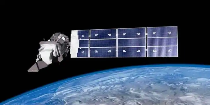
Landsat-9 Satellite
Landsat 9 Satellite launched 27 September on the year 2021, from Vandenberg Air/ Space Force Base, California on an Atlas-V 401 Rocket from United Launch Alliance. It was developed as a collaboration between NASA and the U.S. Geological Survey (USGS).
The satellite will continue to provide consistent and impartial data about the changing land cover and land use of our planet, and enable enhanced studies of the footprint of the growing population
Spacecraft Overview
- Sensor: 2
- Altitude: 705 km
- Orbit: near-polar, sun-synchronous
- Orbital Inclination: 98.2˚
- Spacecraft Speed: 16,760 mi/hr
- Spacecraft Provider: Northrop Grumman Innovative Systems
- Image Data: > 700 scenes per day
- Design Life: 5 years
Landsat 9 Sensor/ Instruments
The satellite carries 2 Sensor:
Spectral Bands
| Band | Name | Wavelength (µm) | Resolution |
|---|---|---|---|
| 1 | Coastal/Aerosol | 0.433 – 0.453 | 30 m |
| 2 | Blue | 0.450 – 0.515 | 30 m |
| 3 | Green | 0.525 – 0.600 | 30 m |
| 4 | Red | 0.630 – 0.680 | 30 m |
| 5 | Near Infrared (NIR) | 0.845 – 0.885 | 30 m |
| 6 | SWIR 1 | 1.560 – 1.660 | 30 m |
| 7 | SWIR 2 | 2.100 – 2.300 | 30 m |
| 8 | Panchromatic | 0.500 – 0.680 | 15 m |
| 9 | Cirrus | 1.360 – 1.390 | 30 m |
| 10 | Thermal Infrared 1 | 10.60 – 11.19 | 100 m |
| 11 | Thermal Infrared 2 | 11.50 – 12.51 | 100 m |
Download Landsat 9 Data

Difference Between Landsat 8 and Landsat 9
| Parameter | Landsat 8 | Landsat 9 |
|---|---|---|
| Imaging capacity | Landsat 8 satellite higher imaging capacity than past Landsats | This satellite higher imaging capacity than Landsat 8 satellite |
| Techniques | Landsat 8 radiometrically and geometrically better than earlier generation Landsats. | Also the satellite radiometrically and geometrically better than earlier generation Landsats. |
| Orbit | polar, sun-synchronous | near-polar, sun-synchronous |
| Altitude | 705 km | 705 km |