ArcGIS Data Interoperability
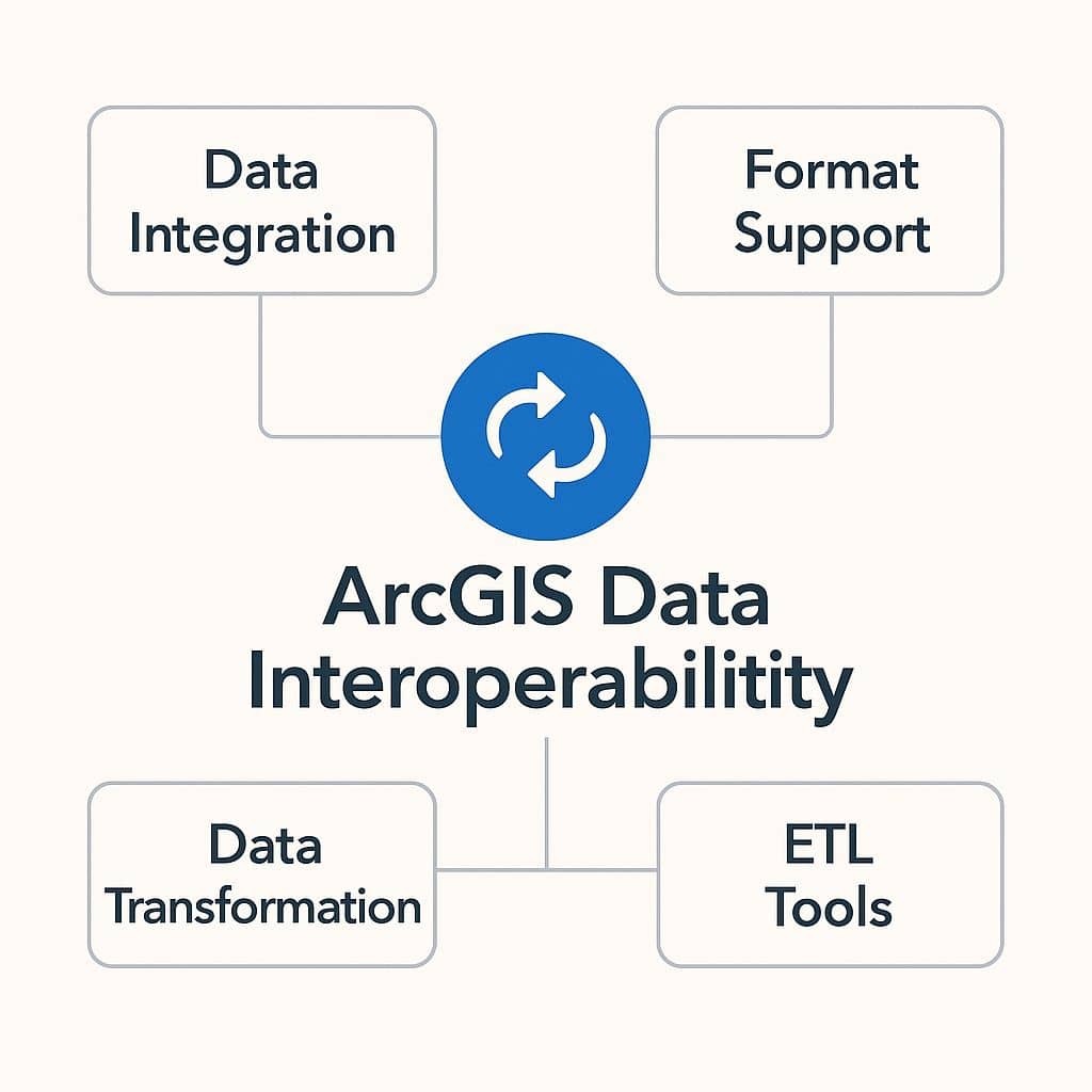
What is Data Interoperability?
The ArcGIS Data Interoperability is a extension, to delivers geospatial integration to all your systems. It’s helps you to simple solution for complex integrations.
Users can create their own tools using a no-code integration approach with Feature Manipulation Engine (FME) in ArcGIS.
Features
- Simple solution for complex integrations
- The no-code transformation
- Delivers geospatial integration to all systems
- Access hundreds of non-native datasets
How Data Interoperability works?
- Install Data Interoperability and Connect to access hundreds of nonnative datasets.
- Create Spatial ETL tools to Transform geoprocess any data.
- Use Spatial ETL tools as services.
Data Interoperability Extension
The ArcGIS Data Interoperability extension for Desktop is an integrated spatial extract, transform and load (ETL) toolset, that runs within the geoprocessing framework using Safe Software’s FME technology.
It enables you to integrate data from multiple sources and formats, use that data with Geoprocessing tools, and publish it with ArcGIS Server.
Data Interoperability extension for ArcGIS Desktop
The Data Interoperability extension for ArcGIS Desktop is offered at two licensing levels:
- Installing Data Interoperability gives you immediate access to WFS and GML-SF datasets.
- Adds additional out-of-the-box support for over 100 GIS, CAD, Raster, and database formats, and grants you access to the FME Workbench application.
Installing Data Interoperability
Data Interoperability is installed with two separate setups:
- Data Interoperability extension for Desktop
- Data Interoperability for Server
ArcGIS Desktop
To install Data Interoperability extension for Desktop run setup.exe located in the similarly named folder provided with the ArcGIS installation media.
Data Interoperability Desktop gives you immediate access to WFS and GML-SF datasets.
Enable extension
After installing, Start ArcCatalog, ArcMap, ArcScene, or ArcGlobe; click Customize > Extensions in the main menu; then check Data Interoperability.
Adding data- ArcMap
Using a direct-read feature class in ArcMap is similar to working with other geodatabase feature classes for add data.
Interoperability connections
An interoperability connection is a user-created link to one or more data sources that is managed in the Catalog tree as a single direct-read dataset. All interoperability connections are saved in the Interoperability Connections folder.
The connection specifies the data source and the FME reader and any parameters supported by the chosen format.
Data Interoperability Toolbox
The Data Interoperability toolbox is a geoprocessing conversion tools that import and export data between geodatabase and non-native formats using FME readers and writers.
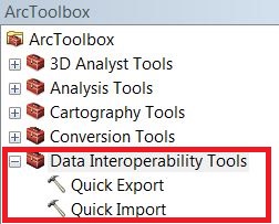
Quick Import Tool
The Quick Import tool imports one or more external datasets into a geodatabase as feature classes. The input parameters include the data source and the FME reader and any parameters supported by the chosen format. The output staging geodatabase can be used directly or for further processing.
Quick Export Tool
The Quick Export tool exports one or more geodatabase feature classes or feature layers to an external dataset. The input parameters include the data source and the FME writer and any parameters supported by the chosen format.
ArcGIS Server
To install Data Interoperability 10.9.1 for Server, run setup.exe located in the similarly named folder provided with the ArcGIS installation media.
Data Interoperability 10.9.1 for Server requires its own license and it is not interchangeable with a desktop license.
ArcGIS Engine
The Data Interoperability extension for ArcGIS Engine for Windows enables developers to embed the extension’s tools for Quick Import, Quick Export, and Spatial ETL in custom desktop applications.