Image Fusion For Remote Sensing using Erdas Imagine
What is Image Fusion
Image fusion or Resolution marge is a process of combining two images to yield that provides the best characteristics of both Sensors.

Types of Image Fusion
| Fusion Level | Description | Examples |
|---|---|---|
| Pixel-Level Fusion | Combines raw pixels from input images | PAN + MS fusion |
| Feature-Level Fusion | Extracts features (edges, textures) and merges them | Edge-enhanced images |
| Decision-Level Fusion | Combines decisions from separate analyses | Classification maps, thematic layers |
Image Fusion Techniques in Remote Sensing
In this tutorial perform Spatial Statistical Data Fusion for Remote Sensing Applications using Erdas Imagine.
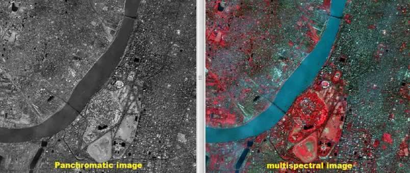
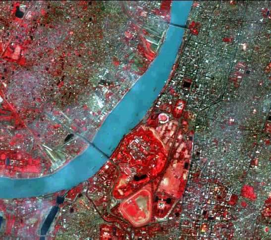
In this lession, used one quickbird multispectral image with 4 spectral bands and a spatial resolution of 2.8 m., and one panchromatic image of the same sensor having a high spatial resolution of 0.7 m.
| Method | Description | Strength |
|---|---|---|
| Brovey Transform (BT) | Ratio-based method to enhance brightness | Fast, easy |
| Principal Component Analysis (PCA) | Replaces first PC with high-res image | Improves spatial info |
| Intensity-Hue-Saturation (IHS) | Converts RGB to IHS and injects PAN | Good visual quality |
| Wavelet Transform | Combines images in frequency domain | Preserves spectral integrity |
| Gram-Schmidt Fusion | Simulates a low-res PAN image to fuse | High-quality result |
Resolution marge in Erdas Imagine
Perform Resolution marge or Image fusion techniques using Erdas Imagine software.
Steps:
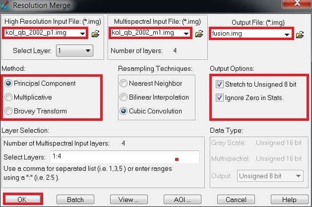
1. Select Raster tab > Resolution group > Pan Sharpen button > Resolution Marge.

2. The Resolution Marge dialog opens, under High Resolution Input File select high resolution image (ex.-kol_qb_2002_p1), and under Multispectral Input File select multispectral image (ex.-kol_qb_2002_m1).
3. Choose your file directly to save the project. Write the Output File name(fusion.img)
4. From Method, choose Principal Component or Multiplicative or Brovey (any one)
4. Under Output Options, turn on the Stretch to unsigned 8-bit and Ignore zero in stats checkbox by clicking on them.
5. Finally click OK button to start Resolution Marge process.
6. Open the output file in the view, and with the original images.
Resolution Marge Method
There are three type of resolution marge methods:
- Principal Component
- Multiplicative
- Brovey