Multispectral Imaging Sensor
The Multispectral Scanner System (MSS) Sensor were line scanning devices observing the Earth perpendicular to the orbital track. The cross-track scanning was accomplished by an oscillating mirror; six lines were scanned simultaneously in each of the four spectral bands for each mirror sweep. The forward motion of the satellite provided the along-track scan line progression.
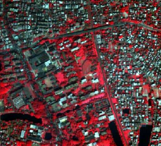
Multispectral Scanner from Landsats 4 and 5 had a swath width of approximately 185×170 km from a height of approximately 900 km for Landsat 1, 2, and 3, and 705 km for Landsat 4 and 5. MSS data are widely used for general geologic studies as well as vegetation inventories.
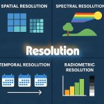
Spatial Resolution of MSS data is 56 × 79 m, with a 79 × 79 m IFOV. A typical scene contains approximately 2340 rows and 3240 columns. Radiometric Resolution is 6-bit, but it is stored as 8-bit.
MSS Sensor Specifications
- Sensor type: opto-mechanical
- Spatial Resolution: 68 m X 83 m (commonly resampled to 57 m, or 60 m)
- Spectral Range: 0.5–1.1 µm
- Number of Bands: 4, 5 (Landsat 3 only)
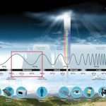
- Temporal Resolution: 18 days (L1-L3), 16 days (L4 & L5)
- Image Size: 185 km X 185 km
- Swath: 185 km
- Programmable: No
Multispectral Scanner Bands
Detectors record EMR in 4 bands:
- Bands 1 and 2 are in the visible portion of the spectrum and can detect cultural features, such as roads. These bands also show detail in water.
- Bands 3 and 4 are in the near-infrared portion used to identify land, water, and vegetation.
MSS Band Specifications
| Bands | Wavelenth (µm) | Resolution (m) | Uses |
|---|---|---|---|
| 1 | 0.5-0.6 | 68 m X 83 m | Scans the region between blue and red chlorophy absorption bands. Green reflectance of healthy vegetation. Map water bodies. |
| 2 | 0.6-0.7 | 68 m X 83 m | Red chlorophy absorption band of healthy green vegetation. Identify vegetation types. Determine soil boundary and geological boundary delineations Cultural features. |
| 3 | 0.7-0.8 | 68 m X 83 m | Identify crops. Identify soil and crop boundaries. Identify land and water boundaries. |
| 4 | 0.8-1.1 | 68 m X 83 m |
Landsat MSS
Multispectral Scanner (MSS) 80-meter, multispectral data from Landsat 1 – 5.
The Landsat Multispectral Scanner (MSS) sensor was carried onboard Landsat 1 through Landsat 5 and acquired images of the Earth nearly continuously from July 1972 to October 1992.
Landsat MSS Band Specifications
| Band (L1-L2) | Band (L3) | Band (L4-L5) | µm | Resolution | L4/L5 TM Band Equivalent |
|---|---|---|---|---|---|
| 4 | 4 | 1 | 0.5-0.6 | 68 m X 83 m | ~ 2 (0.52–0.60 µm) |
| 5 | 5 | 2 | 0.6-0.7 | 68 m X 83 m | ~ 3 (0.63–0.69 µm) |
| 6 | 6 | 3 | 0.7-0.8 | 68 m X 83 m | ~ 4 (0.76–0.90 µm) |
| 7 | 7 | 4 | 0.8-1.1 | 68 m X 83 m | ~ 4 (0.76–0.90 µm) |
| N/A | 8 | N/A | 10.4-12.6 | 68 m X 83 m | ~ 6 (10.41-12.5 µm) |
Landsat TM Data Parameters
| Product Type | Level-1 Corrected |
|---|---|
| Pixel Size | 60 m Reflective bands 4-7 (Landsat 1-3) and Bands 1-4 (Landsat 4-5) |
| Output Format | GeoTIFF |
| Resampling method | cubic convolution (CC) |
| Map Projection | UTM – GS 84 Polar Stereographic for the continent of Antarctica. |
| Image Orientation | Map (North Up) |