Environment of Remote Sensing
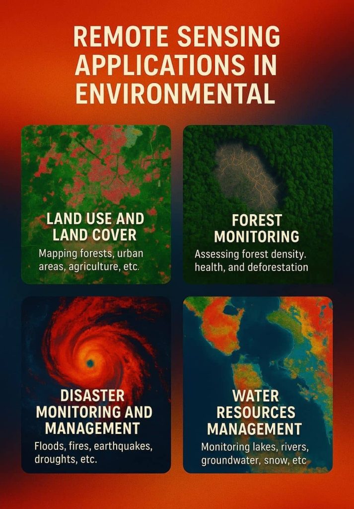
Remote Sensing is a play to major role in Environment. It is used to help to protect the resources monitored, mitigate impacts and sustainable use.
Environmental monitoring by remote sensing is based on processing data and images acquired by sensors on satellites and other types of platforms.
Remote Sensing Application in Environment
Environmental Assessment
Remote sensing application in Environmental assessment includes:
- Environmental impact analysis
- Remediation
- Ecosystem assessment
- Risk management
- Vulnerability assessment
- Post-crisis environmental assessment
Forestry
Remote sensing application in forestry includes:
- Forest cover
- Forest types
- Vegetation density
- Deforestation
- Forest fires
- Biomass estimation
Geology
Remote sensing application in Geology includes:
- environmental geology
- bedrock mapping
- structural mapping
- lithological mapping
- mineral exploration
- hydrocarbon exploration
- geobotany
- sedimentation mapping and monitoring
- geo-hazard mapping
Hydrology
Remote sensing application in Hydrology includes:
- Wetlands mapping and monitoring
- Soil moisture estimation
- River and lake ice monitoring
- Flood mapping and monitoring
- Glacier dynamics monitoring
- Measuring snow thickness
- Determining snow-water equivalent
- River /delta change detection
- Drainage basin mapping
- Watershed modeling
Climatology
Remote sensing application in Climatology includes:
- Climate Change analysis
- Global and climate change studies
- Weather prediction
- Measuring the rise of sea levels
Habitat Analysis
Remote sensing application in Habitat includes:
- Endangered Species Assessments
- Wetlands Analysis
- Hydrologic Analysis
- Watershed and other natural Resource Management Plans
- Vegetation Mapping
- Anadromous Fisheries Habitat Investigation
- Forest Management Planning
- Timber Volume Mapping
- Wildlife & Fisheries Habitat Analysis and Reporting
Mineral Province
Remote sensing application in Mineral Province includes:
- Mineral statistics and commodity information
- Hydrothermal mineral deposit
- Porphyry copper deposit
- Lithosphere
Sea Ice
Remote sensing application in Sea ice includes:
- Sea ice concentration
- Ice type /age /motion
- Iceberg detection and tracking
- Ice topography
- Historical ice and iceberg conditions
- Ice condition
Oceans & Coastal Monitoring
Remote sensing application in Oceans & Coastal includes:
- Ocean pattern identification
- Ocean salinity analysis
- Fish stock and marine mammal assessment
- Water temperature monitoring,and water quality
- Tidal and storm effects
- Coastal vegetation mapping
- Coast level detection
Atmosphere Monitoring
Remote sensing application in Atmosphere includes:
- Global warming monitering
- Climate condition
- Air quality measurement
- Monitoring of the ozone layer
- Atmospheric assessment
Common Sensors for Environmental Applications:
| Sensor | Key Use |
|---|---|
| Landsat | General LULC and long-term monitoring |
| Sentinel-2 | Vegetation, water, soil |
| MODIS | Climate, vegetation, fire |
| Sentinel-5P | Atmospheric pollutants |
| SAR Sensors (Sentinel-1) | Surface deformation, floods |
| LiDAR | 3D terrain and canopy structure |