Google Earth Studio Tutorial
Earth Studio is an animation tool for Google Earth’s satellite and 3D imagery.
What is Google Earth Studio?
Earth Studio is a web-based animation tool for Google Earth 3D and satellite imagery. It has a massive store of satellite and aerial 2D and 3D Earth data, from large-scale geological features to individual city buildings.
How to Get Access Earth Studio?
To access Earth Studio, it has been requires a Google account and currently works in Google Chrome only. To request access, please Sign up fill out the form. You will receive an email whether you are accepted.
System Requirements
Earth Studio runs on the Google Chrome web browser. Before using Earth Studio, be sure that your version of Google Chrome is up-to-date. Otherwise, you might run into some unexpected bugs.
Earth Studio support both Mac and Windows.
Earth Studio Tutorial
Open Earth Studio.
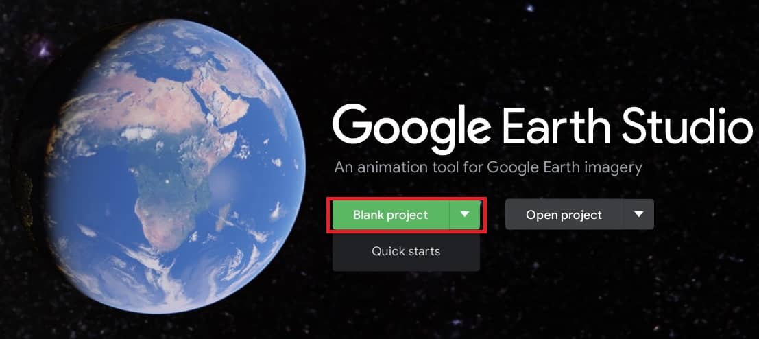
When you first get to earth studio, you’ll have the option to either make a blank project, or open a existing one.
There are more options under these menus: Quick starts, import file, etc, but we are going to ignore those for now.
Project Settings:
Create a new blank project. Write the Project name and adjust the dimensions, duration, and frame rate.

Click the Start button.
After creating a new project, you can adjust any of its settings on the fly with the Project Settings dialog. Access the Project Settings through the File menu.
Save the Project on Cloud:
When you save a project file, it’s stored online and connected to your Google account. You’ll have access to all of your files from any machine, as long as you’re logged in.
Open Project:
You’ll see that the interface is split into three main areas : 1) Viewport, 2) Editor, and 3) Top Bar.
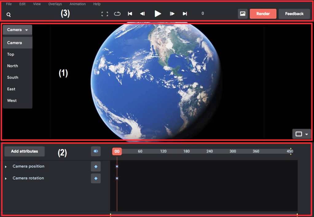
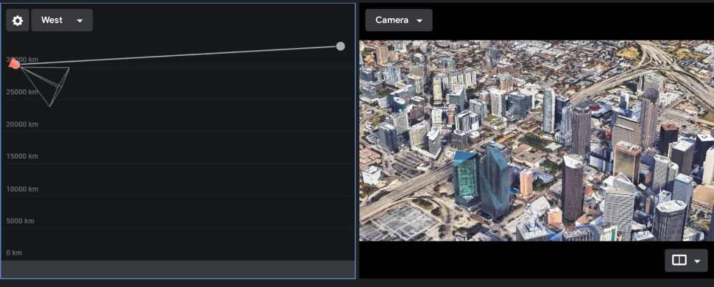
Viewport
The Viewport is the main way to controlling the globe, and also a live preview of your animation output.
Editor
The Editor is split into two parts; the (i) Attribute list, and (ii)Timeline.
Attribute list
The attribute list contains a list of every element that can be animated on the globe. Each attribute is displayed next to its current value, and a keyframe button.
Earth Studio displays two attribute groups: Camera Position and Camera Rotation.
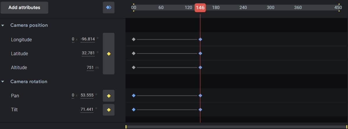
Timeline
The Timeline is subdivided horizontally by Frames, and vertically into Tracks.
Frames are distributed evenly across the top of the timeline.
Tracks correspond to their neighboring attribute. When a key-frame is added for an attribute, it appears in the track.
Top Bar
The Top bar contains the playback controls, output tools, search, and options to save a snapshot.

Playback Controls
Once you have an animation in place, the playback controls will give you a live preview.
Snapshot
You can save your current view as a snapshot at any time while navigating the Earth.
How is Earth Studio different from Google Earth?
Google Earth enables you to travel and learn about the world through a virtual globe. You can view satellite imagery, maps, terrain, 3D buildings and much more.
On the other side, Earth Studio is a tool for animating geo-spatial information to create still and video content. They both share the same imagery dataset and use the same 3D rendering engine, but have different features.