Download GIS Data
Download the GIS Data from Authority websites. It has been Raster as well as Vector data. So you can Download free GIS Data and use to your project. In Below list of best GIS Data Sources sites.
List of GIS Data Download Sources
Global Data Source
ArcGIS Hub
ArcGIS Hub ArcGIS Hub then Download Data.
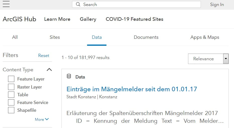
Types of Data:
- Download spreadsheets, KML, and Shapefile. data formats.
- Image Service, CSV, Geodatabase, GeoJson.
NASA Earthdata
NASA Earth Science Data Systems (ESDS) program oversees the life cycle of NASA’s Earth science data—from acquisition through processing and distribution. ESDS Provided several different web-based options for searching and downloading datasets from all of NASA’s data collections.
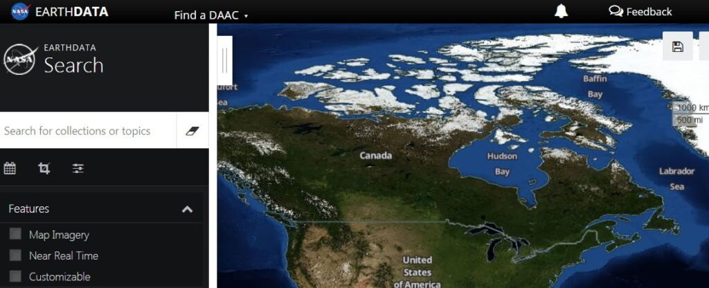
Types of Data:
- Download GeoTIFF, KML, Shapefile data.
- Text file, MAT, DBF, JPEG, PNG, PDF, XML, etc.
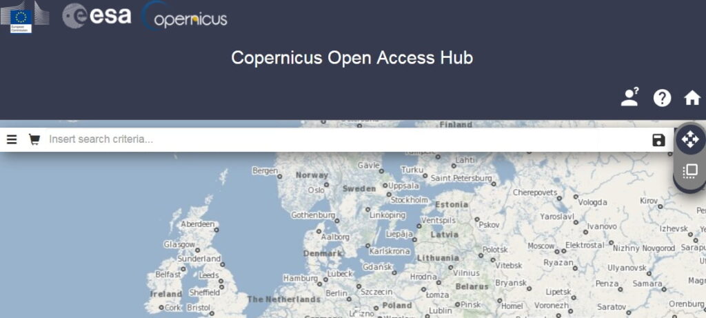
Sentinel Open Access Hub
Sentinel Open Access Hub their operational focus and the Copernicus Thematic area they support. Particular care was given to your understanding of the instruments, the performance of the data products including scientific applications, the Ground Segment processing, and guidance on accessing Sentinel data.
Types of Data:
- Download Sentinel-1, Sentinel-2, Sentinel-3, Sentinel-5P data.
- High-Resolution Complementary data.
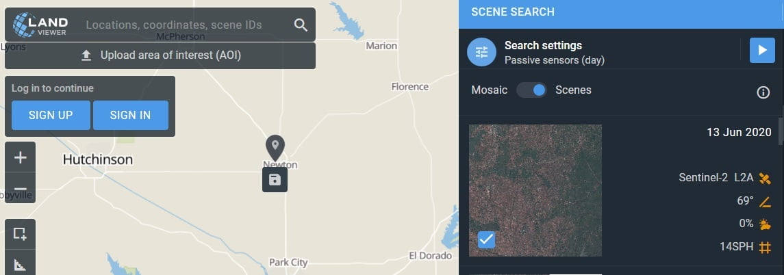
EOS-Land Viewer
LandViewer is a simple, intuitive web interface that EOS provides as a direct market product to the public. Land Viewer allows non-expert users to select a Geographic area for analysis, an Earth observation data types, and then apply their choice of on-the-fly imagery analytics.
Types of Data:
- Download latest Sentinel-2, Landsat-8 satellite data.
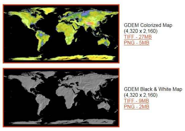
ASTER GDEM
ASTER Global Digital Elevation Map (GDEM) Announcement the download World DEM map.
Types of Data:
- Download Global DEM (Digital Elevation Model) data.
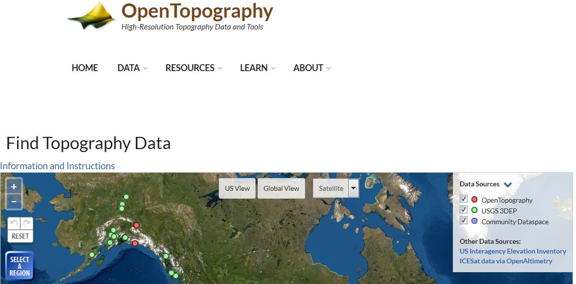
OpenTopography
Open Topography Facility is based at the San Diego Supercomputer Center (SDSC) at the University of California. The Open Topography’s primary emphasis is on Earth science-related, research-grade, topography and bathymetry data.
Types of Data:
- Download LiDAR Raster data.
- Global DEMs data are available for download.
United States Data Source
USGS – Earth Explorer
Earth Explorer- USGS is one of the largest free sources of data. United State Geological Survey (USGS) Earth Explorer Providing real-time or near real-time data and information on current conditions and earth observations. Download different types of Data- Landset, Elevation, Aerial, Radar, Hyperspectral Data.
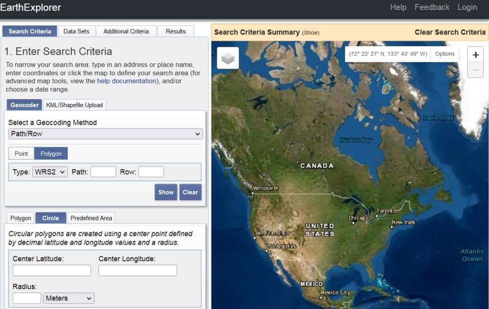
Types of Data:
- Download Landsat, Sentinel-2, and Land cover data.
- Radar dataset, Aerial Imagery and DEM (SRTM) data available for download.
National Geophysical Data Center
NOAA National Centers for Environmental Information (NCEI) is responsible for preserving, monitoring, assessing, and providing public access to the Nation’s treasure of geophysical data and information.
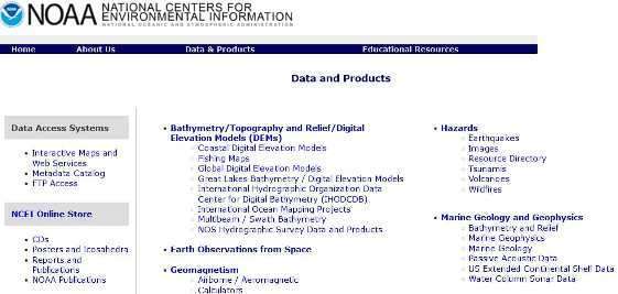
Types of Data:
- Download Environmental data, like; Climate, Coastal, Ocean data
- Also provide Radar data.
Natural Earth
Natural Earth provide the dataset available at 1:10m, 1:50m, and 1:110 million scales. It’s integrated vector and raster data, with Natural Earth you can make a variety of visually pleasing, well-crafted maps with cartography or GIS Software.
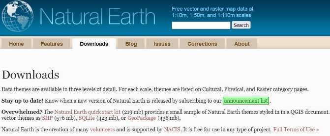
Types of Data:
- Download Cultural, physical, and Raster data.
- Also Download all vector themes as SHP (576 mb), SQLite (423 mb), or GeoPackage (436 mb) data.
SEDAC – NASA
SEDAC (Socioeconomic Data and Applications Center) is a Earth Observing System Data and Information System of the U.S. National Aeronautics and Space Administration. It’s provided socioeconomic and earth science data and to serve as an “Information Gateway” between earth sciences and social sciences.
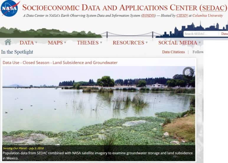
Types of Data:
- Download Socioeconomic data, such as agriculture, population, climate and health.
Europe Data Source
European Union Open Data
Download free European nation all types of data.
Types of Data:
- Download Esri shapefile, JSON, CSV, KML, Excel XL.
India Data Source
Bhuvan – NRSC
Bhuvan Indian Geo-Platform of ISRO has been Provided all categories of Data for India. it’s view to 2D, 3D in India, also available different types of services- Thematic, Ocean, Climate, Agriculture, Forestry, Urban and many others.
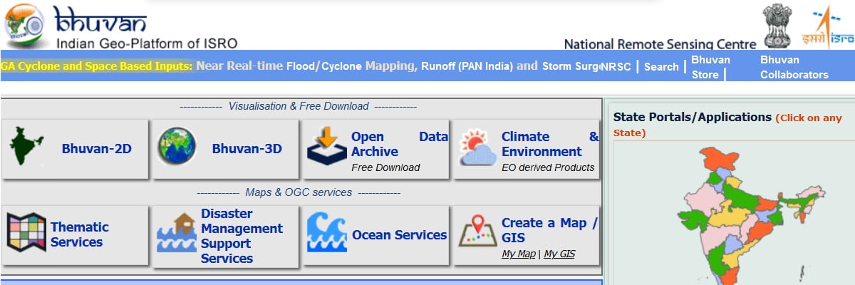
Types of Data:
- Download Resourcesat, Cartoset, and Oceansat satellite data.
Bharat Maps
Bharatmaps which depicts core foundation data as “NICMAPS”, an integrated base map service using 1:50,000 scale reference data from Survey of India, ISRO, FSI, RGI and others. It is provided data for; administrative boundaries, transport layers such as roads & railways, forest layer, settlement locations, and also terrain map.
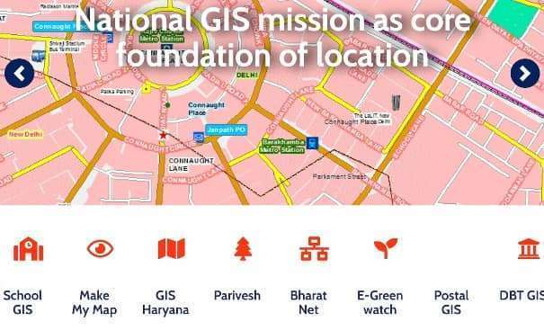
Types of Data:
- Download India all types of data.
Brazil Data Source
SIGMINE
SIGMINE provides a of tools that allow its users to research the areas of active mining processes in the ANM and perform some spatial analysis, both using data provided by the user and data from other thematic layers shared in the system.
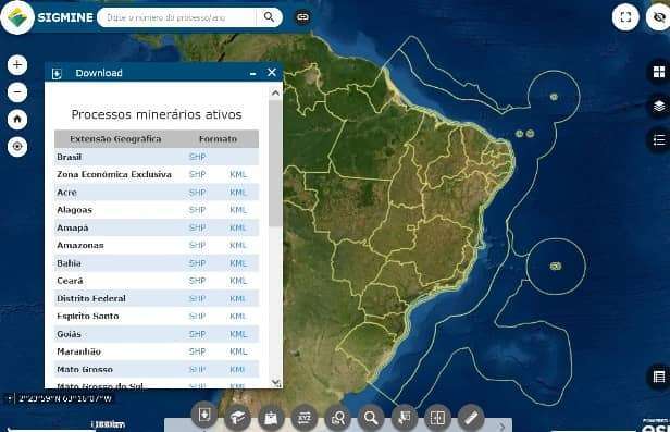
Types of Data:
- Download Brazil GIS data.
Canada Data Source
Geogratis
Geogratis provide Topographic Information: where you can find maps, data, applications and tools. Find and download geospatial data, and also elevation and topographic data.
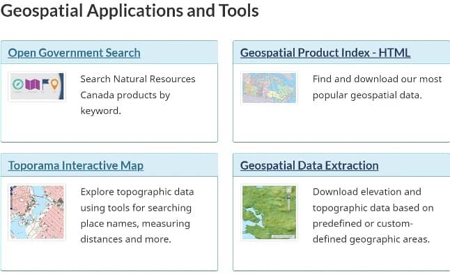
Types of Data:
- Download Geospatial data, such as; hydrographic networks, topographic raster, foundational GeoBase data.
- Also offer to High Resolution Digital Elevation Model, and High Resolution Digital Elevation Model Mosaic data.
Download Free GIS Shapefiles Data
DIVA-GIS is a amazing site to download Vector Data. It is also provide Free Spatial Data. Select and download free geographic data for any country in the world.
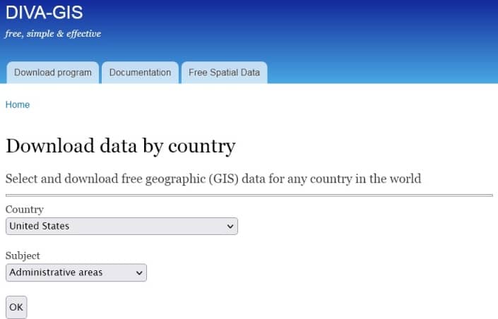
Learn more about, how to Download Country Level Shapefile Data in DIVA-GIS.
Download Census Data of GIS
United State
Download free GIS Census Data from USA Gov. official website. U.S. Census Bureau’s offers geographic 3 types of data:
- Shapefiles (Partnership, TIGER/Line, Cartographic Boundary)
- KML (Google)
- File Geodatabase (ESRI) files
India
India has provide huge data to download. All types of data are available; Social, Cultural, Physical and more.