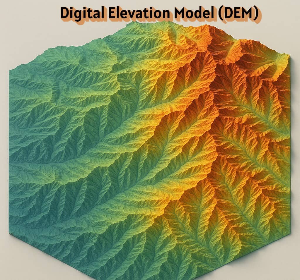
Digital Elevation Model (DEM)
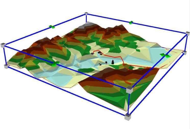
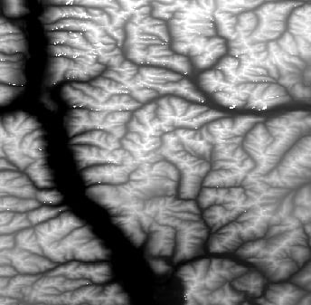
A Digital Elevation Model (DEM) is a represent ground/Earth Surface Topography or Terrain. It is also widely known as a Digital Terrain Model (DTM). DEMs are commonly built using Remote Sensing techniques and also used often in GIS.
A DEM data are stored in ASCII format. The data file values in ASCII format are stored as ASCII characters rather than as zeros and ones like the data file values in binary data.
DEM File Formats:
DEM vs DSM vs DTM
| Model | Full Form | Description |
|---|---|---|
| DEM | Digital Elevation Model | Bare-earth terrain model without objects |
| DSM | Digital Surface Model | Includes buildings, trees, and other objects |
| DTM | Digital Terrain Model | Often similar to DEM but may include breaklines and contour info |
Types of DEM
Digital terrain data covering most regions in the United States is available in the
There are two types of historic DEMs that are most commonly available from USGS:
- 7.5-minute DEM
- 1-degree DEM
Both types have a 16-bit range of elevation values, each pixel can have a possible elevation of -32,768 to 32,767.
| Factor | 7.5-minute DEM | 1-degree DEM |
| Geographic extent | ||
| in latitude and longitude | 7.5′ x 7.5′ | 1° x 1° |
| in kilometers (approx.) | 12 km x 14 km | 90 km x 110 km |
| Projection | UTM | Geographic |
| Zone | 1 to 60 | N/A |
| Scale | 1:24,000 | 1:250,000 |
| Ground Units | meters | arc seconds |
| Surface Z Units | meters | meters |
| Spheroid | Clarke 1866 | WGS72 |
| X-shift | 0.00000 | 0.00000 |
| Y-shift | 0.00000 | 0.00000 |
| Distance between elevation points in x and y | 30 meters x 30 meters | 3 arc seconds 75 meters x 75 meters (approx. in the United States) |
| Number of elevation points in x and y | Varies. The typical column counts range from 345 to 385, and row counts from 460 to 475. | Constant of 1201 x 1201. |
| Variation in ground distance between elevation point spacing across the raster dataset | No variation; the spacing is constant. | Varies with the latitude. |
Create DEM From Google Earth
Follow this Tutorial, How to Create DEM from Google Earth.
Download DEM Data
Many Sources are available for Download Free DEM Data files.
Methods For Obtaining DEM
There are many different methods for gathering digital elevation data
- LIDAR
- RADAR
- Stereo Photogrammetry
- Multi-view stereo applied to aerial photography
- Theodolite or total station
- Real Time Kinematic GPS
- Topographic maps
- Inertial surveys
- Focus variation
- Doppler radar
Uses of Digital Elevation Model
Common uses of DEMs include:
- Surface Analysis
- Terrain parameters
- Stream ordering or River network
- Flood simulation
- Rendering of 3D visualizations (TIN)
- Rectification of Aerial photography or Satellite imagery
- Geographic Information Systems (GIS)
- Global positioning systems (GPS)
- Base mapping
- Flight simulation
- Precision farming and forestry