GIS for Geology
Geographic Information System (GIS) play an important role in the study of the earth surface. Geologists have used the GIS Technology to find some of the solutions and technology on the earth’s surface and to integrate different geological data collected from the field.
6 Major Importance Applications of GIS in Geology
- Geologic Mapping
- Land Use Changes
- Surveying
- Urban Planning
- Coastal Management
- Earthquake Information System
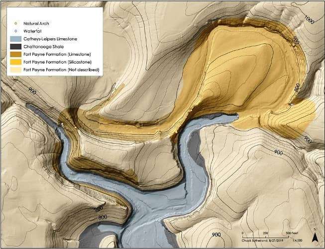
Geologic Mapping
GIS is an effective tool in Geological mapping. Mapping the subsurface through well-log data by drillers with standard lithological terms, Geographic Information System helps to collect more accurate data for making geological map.
Land Use Changes
A GIS helps with the provision of the data that is required to understand Changes the Land Use. GIS based land acquisition management system will provide Summarizing statistics, graphs and tables in spatial units.
Surveying
Geological Survey provides researchers and organizations with a robust assortment of GIS data, such as topographic details for the entire country and interactive maps. Spatial information, it is possible to model subsurface water flow or assess the stability of terrain for oil and gas exploration, etc
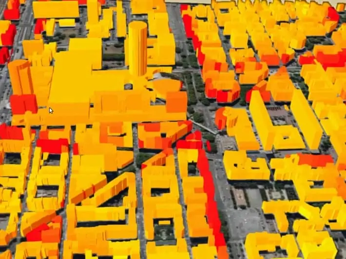
Urban Planning
The Geologists, analysis of urban growth and looking at the direction of its expansion is one of the functions that is performed with Geographic Information Systems. GIS also identify city structure or model with the helps of City planning.
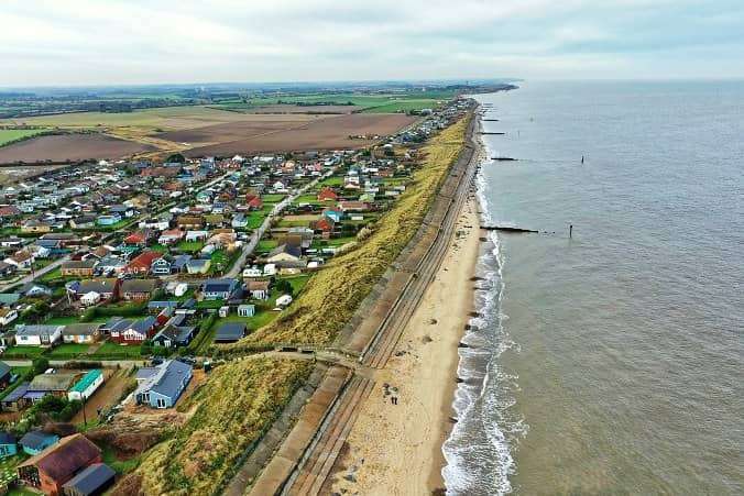
Coastal Management
Coastal Management Adapting to climate change through better flood and erosion defense. The coastal zone represents varities of Ecosystem such as coral reefs, mangroves, see grasses and sand dunes. GIS helps generation of the data for mapping and monitoring the coastal resources.
Earthquake Information System
Obtaining earthquake signatures measuring subduction events with GRACE satellite and the Geoid. Geologists find the important occurrences of Earthquakes and the trends that it follows. Earthquake Mapping induced Landslides using an artificial neural networks and other factors, such as Slope, Aspect, Curvature and distance from drainage.