Map Projections
What are Map Projections?
A map projection is the manner in which the spherical surface of the Earth is represented on a flat, two-dimensional surface. This can be accomplished by direct geometric projection or by a mathematically derived transformation. There are many kinds of projections, but all involve transfer of the distinctive global patterns of parallels of latitude and meridians of longitude onto an easily flattened surface.
Why Use Map Projections?
- To convert geographic coordinates (latitude, longitude) to planar coordinates (x, y)
- To create maps for different purposes (navigation, weather, thematic)
- To preserve certain spatial properties depending on the need (e.g., distance or area)
Properties of Map Projections
Ideally four types of map properties:
- Conformality– is the characteristic of true shape, wherein a projection preserves the shape of any small geographical area. This is accomplished by exact transformation of angles around points. One necessary condition is the perpendicular intersection of grid lines as on the globe. The property of conformality is important in maps which are used for analyzing, guiding, or recording motion, as in navigation. A conformal map or projection is one that has the property of true shape.
- Equivalence– is the characteristic of equal area, meaning that areas on one portion of a map are in scale with areas in any other portion. Preservation of equivalence involves inexact transformation of angles around points and thus, is mutually exclusive with conformality except along one or two selected lines. The property of equivalence is important in maps that are used for comparing density and distribution data, as in populations.
- Equidistance– is the characteristic of true distance measuring. The scale of distance is constant over the entire map. This property can be fulfilled on any given map from one, or at most two, points in any direction or along certain lines. Equidistance is important in maps that are used for analyzing measurements. Typically, reference lines such as the equator or a meridian are chosen to have equidistance and are termed standard parallels or standard meridians.
- True direction– is characterized by a direction line between two points that crosses reference lines (meridians) at a constant angle or azimuth. An azimuth is an angle measured clockwise from a meridian, going north to east. The line of constant or equal direction is termed a rhumb line.
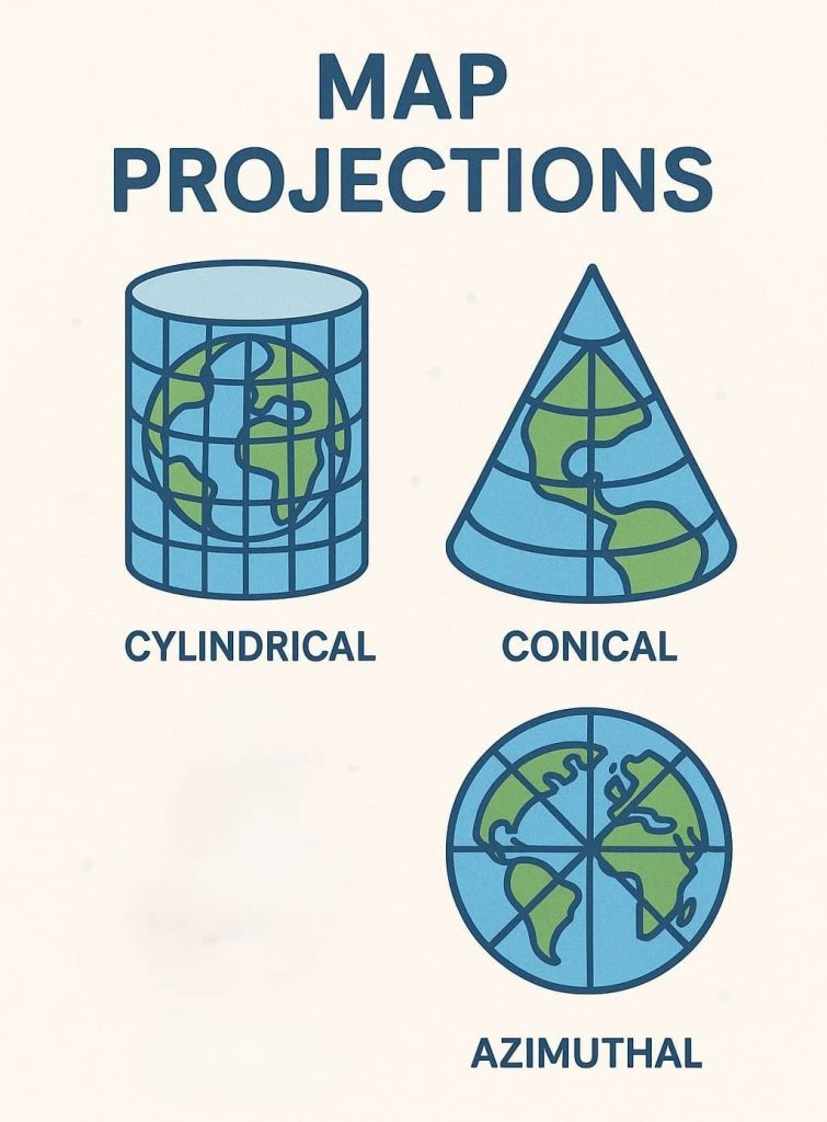
Map Projection Types
Three Main Types of Map Projections:
- Azimuthal Projections
- Conical Projections
- Cylindrical Projections
Azimuthal Projections
Azimuthal projections, also called planar projections, are accomplished by drawing lines from a given perspective point through the globe onto a tangent plane. This is conceptually equivalent to tracing a shadow of a figure cast by a light source.
A tangent plane intersects the global surface at only one point and is perpendicular to a line passing through the center of the sphere. Thus, these projections are symmetrical around a chosen center or central meridian. Choice of the projection center determines the aspect, or orientation, of the projection surface.
Conical Projections
Conical projections are accomplished by intersecting, or touching, a cone with the global surface and mathematically projecting lines onto this developable surface.
A tangent cone intersects the global surface to form a circle. Along this line of intersection, the map is error-free and possess equidistance. Usually, this line is a parallel, termed the standard parallel.
Cylindrical Projections
Cylindrical projections are accomplished by intersecting, or touching, a cylinder with the global surface. The surface is mathematically projected onto the cylinder, which is then cut and unrolled.
A tangent cylinder intersects the global surface on only one line to form a circle, as with a tangent cone. This central line of the projection is commonly the equator and possesses equi-distance.
How to Choose a Projection?
- For global maps: Robinson, Winkel Tripel (compromise projections)
- For navigation: Mercator (conformal)
- For regional area analysis: Albers Equal-Area
- For polar regions: Azimuthal (e.g., Stereographic)
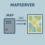
Map Projection Uses in a GIS
Map projection for the GIS database.
- Decide how to best display the area of interest or illustrate the results of analysis
- Register all imagery to a single coordinate system for easier comparisons
- Test the accuracy of the information and perform measurements on the data