Projected Coordinate Systems (PCS)
What is the Projected Coordinate System?
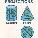
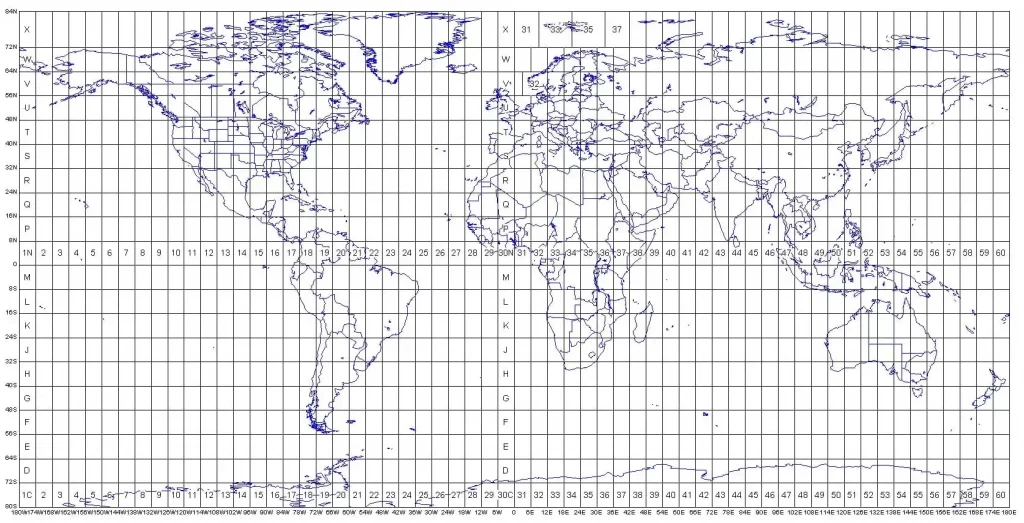
A Projected Coordinate System (PCS) is a flat, two-dimensional surface of the Earth. It is based on a sphere or spheroid Geographic Coordinate System (GCS). In a PCS identified by x,y coordinates on a grid. The ‘X’ lines represent longitude, and ‘Y’ lines represent latitude.
Projected Coordinate Systems in ArcGIS
ArcGIS data frame has a default unknown coordinate system. If you change the data frame’s coordinate system, all layers that have coordinate systems will be projected on the fly to the new coordinate system.
Specifying PCS in ArcMap
Steps :
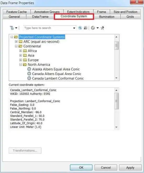
1. Open ArcMap, Right-click the data frame Layers and choose Properties to bring up the Data Frame Properties dialog box.
2. Click the Coordinate System tab and navigate to the Projected Coordinate System, and select your desired coordinate system for your map display.
3. Finally click OK.
Steps :
- In ArcCatalog, click the shapefile whose coordinate system you want to define.
- Click the File menu and click Properties.
- Click the XY Coordinate System tab.
- Click New and click Projected.
- Type a name for the custom coordinate system.
- Click the Projection Name drop-down arrow and click one of the supported projections.
- Type the appropriate parameter values for the projection.
- Click the Linear Unit drop-down arrow and click a predefined unit of measure.
- Define the projection’s datum by selecting a predefined geographic coordinate system or defining a new geographic coordinate system. Afterward, you can modify the geographic coordinate system’s parameters if you want.
- Click OK.
- Then click OK on the Shapefile Properties dialog box.