ArcGIS Indoors
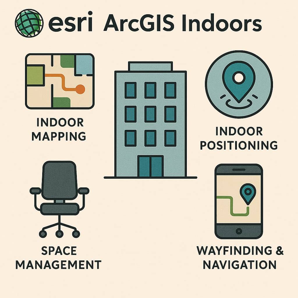
ArcGIS Indoors is a complete indoor mapping system for smart building management. It organizes Computer-Aided Design (CAD), Building Information Modeling (BIM), site scans, and operational datasets into floor-aware indoor maps. The Indoors to support facilities, workplace operations, maintenance applications, and various use cases.
What is ArcGIS Indoors
ArcGIS Indoors is a holistic GIS system designed to activate indoor spaces and optimize business operations. It is allows you to create a 2D or 3D digital indoor map of your building, visualizing all rooms and amenities.
You can create and manage floor plan data and share floor-aware maps and services for use in web and mobile apps:
- Indoor Viewer
- Indoor Space Planner
- Indoors App (Android & iOS)
Indoors New 1.11– now you can touch and hold the booking notification, and check in and check out directly without opening the app.
Features
- Floor-aware indoor maps
- Building intelligence and resource planning
- Digital 2D and 3D indoor maps
- Locate assets and amenities
- Book work space, navigate buildings, report service
- Indoor positioning and mobile wayfinding
- Analytical data
How Indoors works
Create indoor maps > Share across organization > Empower the workforce
Indoors License
Arc GIS Indoors provided three licensing options:
- Indoors Maps– available to all organization members.
- Indoors Spaces– an add-on to the Indoors Maps license, and is not available without ArcGIS Indoors Maps.
- Indoors Pro– an add-on license that requires organization members to be individually assigned a license.
Tutorial
Indoor Viewer
Indoor Viewer allows you to find a location or resource within a building or a site that includes several buildings.
Viewer modes
The Viewer can be run in two distinct modes:
- Browser mode– This mode is accessed through the default URL for Viewer.
- Kiosk mode– This mode is accessed through an alternate URL for Viewer.
Viewer App Creation
Configuring a Viewer app requires the following steps:
- Review system requirements.
- Configure your portal or organization.
- In ArcGIS Pro, load and curate your indoor data to conform to the ArcGIS Indoors Information Model.
- In ArcGIS Pro, prepare a map and, optionally, a scene for Viewer.
- Share the map and optional scene to your Enterprise portal or ArcGIS Online organization.
- Create the web app from the configurable template.
- Open Viewer.
Indoor Space Planner
Indoor Space Planner is a browser-based app that allows you to plan, and visualize where and how occupants are assigned to spaces.
Space Planner App Creation
Configuring a Space Planner app requires the following steps:
- Review system requirements.
- Configure your Enterprise portal or ArcGIS Online organization.
- In ArcGIS Pro, load and curate your indoor data to conform with the ArcGIS Indoors Information Model.
- In ArcGIS Pro, prepare a map for Space Planner to use in Enterprise or ArcGIS Online.
- Share the map to your Enterprise portal or ArcGIS Online organization.
- Create the Space Planner app.
- Create and open space plans.
Indoors App (Android & iOS)
To use Indoors, you need ArcGIS Pro to prepare your data, and an ArcGIS Enterprise portal or an ArcGIS Online organization to host shared data.
Follow these steps to configure Indoors:
- Configure your portal or organization.
- Complete the prerequisites.
- In ArcGIS Pro, prepare a map for use in the Indoors mobile app.
- Share a mobile map package to your ArcGIS Enterprise portal or ArcGIS Online organization.
- Configure integration with other apps.
- Configure indoor positioning.
- Optionally, set up device location sharing.