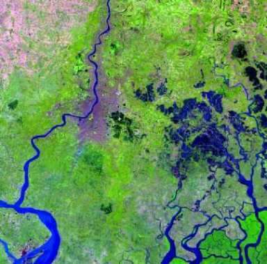
AWIFS Sensor
IRS (Indian Remote Sensing) AWIFS full form is; Advanced Wide Field Sensor.
Resolution
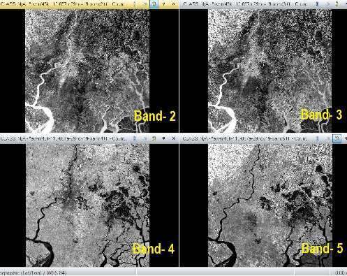
The Advanced Wide Field Sensor provides Multispectral data in 4 Bands. The Spatial Resolution (56 m vs 188 m), Spectral Bands (10 bits vs 7 bits) and Radiometric Resolution (4 vs 2). The ground swath of 740 kms (combined) and 370 kms (each head).
Band Information
| Band | Wavelength (micrometres) |
|---|---|
| Blue | – |
| Green | 0.52 to 0.59 |
| Red | 0.62 to 0.68 |
| NIR | 0.77 to 0.86 |
| SWIR | 1.55 to 1.70 |
Resourcesat AWIFS Sensor Specifications
| IGFOV | 56 m |
| Spectral Bands (Microns) | B2 0.52 – 0.59 B3 0.62 – 0.68 B4 0.77 – 0.86 B5 1.55 – 1.70 |
| Average Saturation | B2 53 radiance B3 47 (mw/cm2/sr/micron) B4 31.5 B5 4.64 |
| Swath (Km) | 740 (combined) 370 (each head) |
| Integration Time | 9.96 m. sec |
| Quantization | 10 bits |
| No. of gains | 16 |
[IGFOV–Instantaneous Geometric Field of View]
AWIFS Data Download
.Follow the tutorial, How to Download Data step by step.
Difference of AWIFS and LISS-3 Sensor
| Sensor | AWIFS | LISS-3 |
| Number of Bands | 4 | 4 |
| Spectral Band 2 (µ) | 0.52–0.59 (green) | 0.52–0.59 (green) |
| Spectral Band 3 (µ) | 0.62–0.68 (red) | 0.62–0.68 (red) |
| Spectral Band 4 (µ) | 0.77–0.86 (NIR) | 0.77–0.86 (NIR) |
| Spectral Band 5 (µ) | 1.55–1.70 (SWIR) | 1.55–1.70 (SWIR) |
| Resolution (m) | 56 | 24 |
| Swath (km) | 740 | 140 |
| Revisit Period (days) | 5 | 24 |