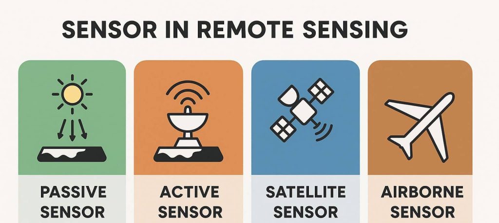
Types of Sensors in Remote Sensing
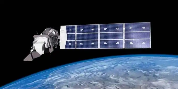
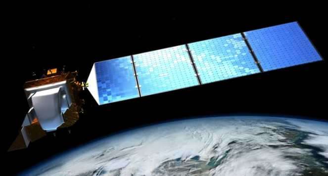
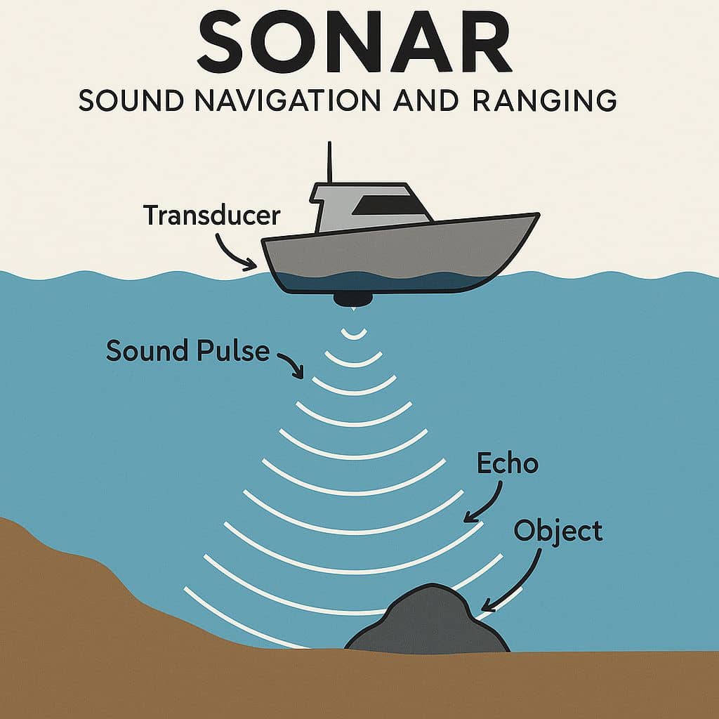
In remote sensing, sensors are devices that detect and measure electromagnetic radiation reflected or emitted from Earth’s surface. These sensors are broadly classified based on their source of energy and the type of data they collect. What is Sensor? A Sensor is a device that produces an output signal for the purpose of sensing a […]