ArcGIS Parcel Fabric Tutorial
In this tutorial, opening and editing parcel fabric dataset in ArcGIS.
What is Parcel Fabric?
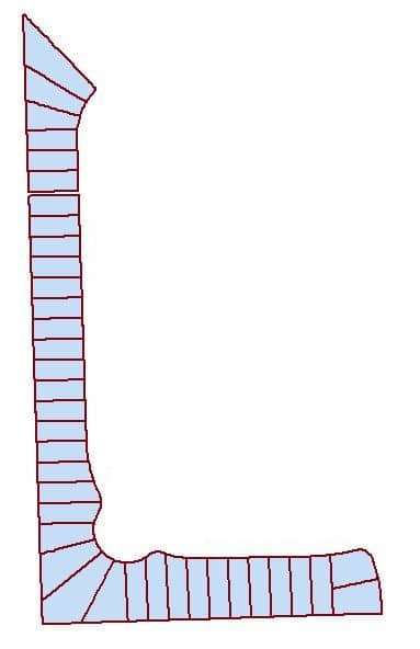
A parcel fabric is a continuous surface of connected parcels/parcel network. Parcels are made up of point, line, and polygon features.
- The Parcel polygons are defined by lines, which store COGO dimensions.
- Parcel lines have endpoints, which are common between adjacent parcels.
- Parcel points store x, y, z coordinates which locate the parcel on the ground.
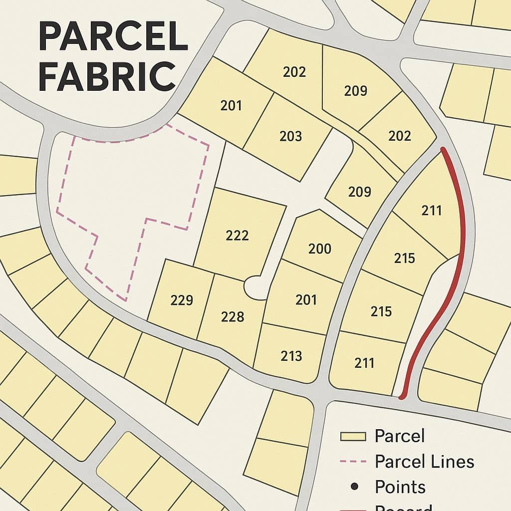
Components
| Component | Function |
|---|---|
| Parcels | Polygon features representing property boundaries. |
| Parcel Types | Different classifications like lots, units, easements. |
| Lines | Define parcel boundaries (with COGO attributes). |
| Points | Corner points shared between parcels. |
| Records | Represents legal documents like deeds or surveys. |
| Plans | Groups of parcels associated with a subdivision or survey plan. |
Parcel Fabric in ArcGIS
ArcGIS Parcel Fabric is a data management framework within the ArcGIS platform designed specifically for managing land records, especially cadastral data (parcels, lots, tracts, subdivisions, and legal boundaries). It supports modern land administration systems, ensuring data accuracy, historical tracking, and efficient editing workflows.
Parcel Fabric Editing
Setup the Data
In the Catalog window in ArcMap, browse to destination for manage and store data. For ex.-E:\GISRSSTUDY\arcgis\Parcel Fabric.
Open and Edit Parcels
Steps:
1. Open ArcMap and load the Parcel data map document.
2. Create a new Shapefile, select Parcel Editor and click Start Editing.
3. Now start the Digitization process.
4. Using Interactive Tracing for digitize percel.
5. Complete the digitization process, Convert Polyline feature to Polygon feature.
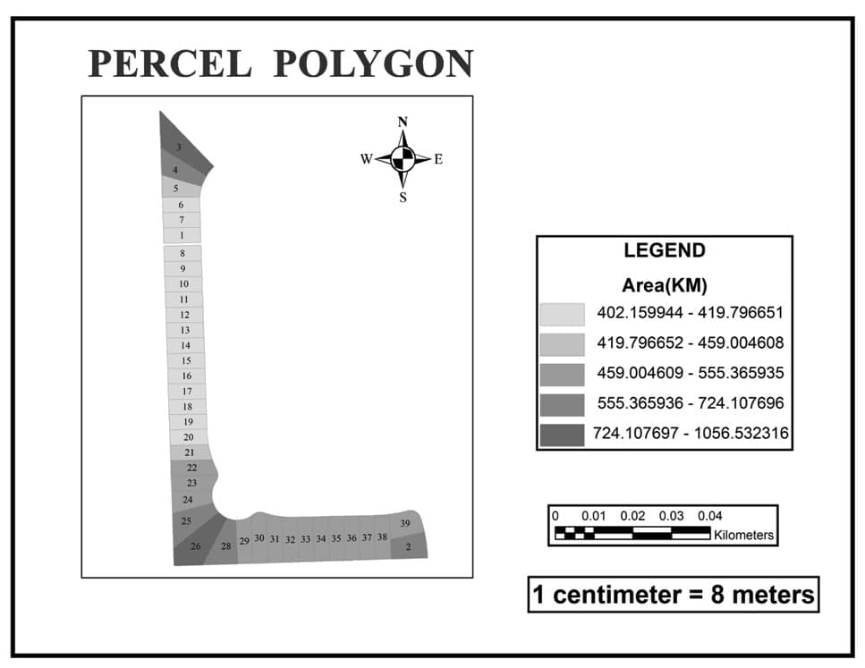
Percel polygon division calculation by area.
Parcel Fabric Tools in ArcGIS Pro
- Create and record parcels
- Merge or split parcels
- COGO-enabled editing tools
- Topology validation and fixing
- Historic tracking of parcel changes
- Quality control using rules and attributes
Applications
- Cadastral mapping for municipalities.
- Land registry and legal document management.
- Subdivision planning and land use planning.
- Public access to land ownership and parcel maps.