ArcGIS Field Maps
What is ArcGIS Field Map?
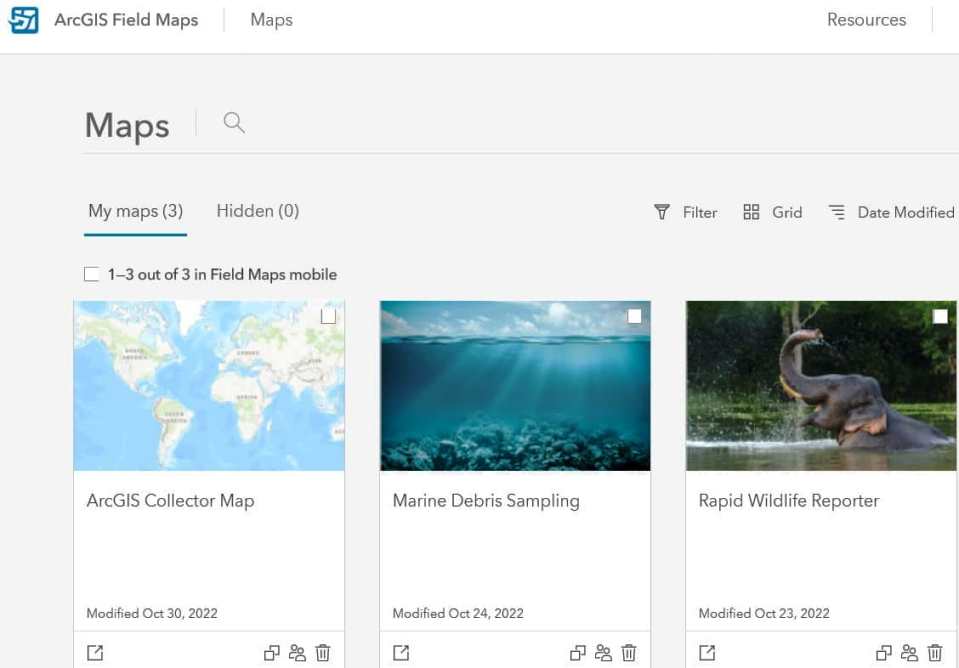
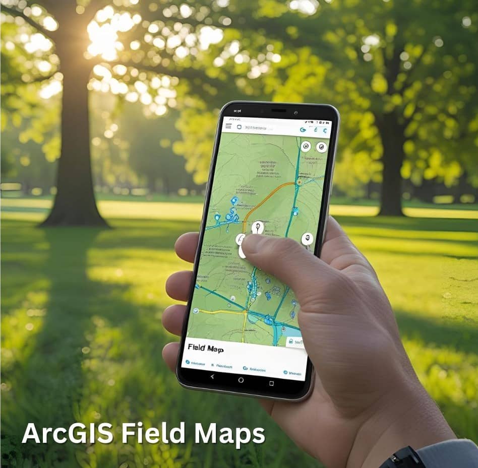
ArcGIS Field Maps is the field app, powered by field maps, that streamlines the critical workflows field personnel use every day. Field Maps is a mobile solution that allows to capture data, perform inspections, take notes, and share information with the office. Use the Field Maps web app to configure maps and deploy them for use in the field.
ArcGIS Field Maps is a powerful mobile app solution that streamlines field workflows for exploring maps, collecting and updating authoritative data, and recording where mobile users have gone. Included with ArcGIS Online and ArcGIS Enterprise, the Field Maps web application can be used to configure maps, forms, and mobile app setting.
In June, 2022 release ArcGIS Field Maps is a Major update and lots of exciting new capabilities including:
- Geofencing
- Utility Network support
- Indoor Positioning
- Capture GPS metadata for lines and polygons
- Additional contingent values capabilities
- Field Apps licensing changes
Features:
- Map Viewing– ArcGIS Field Maps has the most advanced map viewing capabilities on smartphone. measure experience, improves the accuracy, find my places, and more.
- Data Collection– Field Maps supports efficient, rapid, and accurate data capture. Feature templates, Trimble DA2 GNSS receiver, audio recordings, grid-based transformations, and more.
- Location Tracking– Field Maps support location tracking capabilities. track categories, battery optimization, group layers, custom pop-ups, and more.
How Field Maps works
Create a Web Map ➡ Prepare maps & download ➡ Track mobile workers
5 Important things about Field Maps
- View your maps
- Sketch and take notes with markup
- Collect data
- Create a map area from offline
- Track your location
ArcGIS Field Maps Tutorial
Create a Map
Three types of map you can create on to use in the Field Maps mobile app.
- Read-only maps
- Maps enabled for editing
- Floor-aware maps
Create a read-only Map
Read-only maps allow mobile workers access to the most current data while in the field.
A read-only map can be either a web map or MMPK.
- Web map– can be used for online, it’s allow mobile workers to access the same data used in the office.
- MMPK– can be used for offline. Create an MMPK if you need to include advanced data or symbology not supported in a web map or if you want to copy maps directly to a mobile device.
Create a Maps enabled for editing
Maps enabled for editing allow mobile workers to collect and edit data in the field.
Create a Floor-aware Maps
Floor-aware maps allow mobile workers to view indoor feature layers that contain information about floors and buildings.
Create a a web Map
Create your map in ArcGIS Online Map Viewer or ArcGIS Pro using your ArcGIS account.