ArcGIS Online Map Viewer Tutorial
Use ArcGIS Online New Map Viewer to view, explore, and create web maps and navigate the map to view various areas. Also, that allows users to create, visualize, analyze, and share interactive web maps. It is designed for both beginners and advanced GIS users.
You should see the messaging by now in Map Viewer Classic or the new Map Viewer. The old Map Viewer, which is now termed Map Viewer Classic, will stick around for a while, and we’ll get to details for that.
What’s new ArcGIS Map Viewer
- Map image layers are fully supported now.
- Add and configure imagery layers- vector field style as well as color map style
- Support for configuring refresh interval in the new Map Viewer
- Enhanced histogram
- Support for floor-aware maps
- Similarly for open standards, added new enhancement in the OGC API features and tile layer from url.
Map Viewer Classic will be around awhile
- New map viewer has parity for both functionality and workflows
- Able to configure which map viewer is the primary
- There are convenient links available for accessing either map viewer
- Web maps creates in map viewer classic vs new map viewer
Configuring Primary Map Viewer
This first one in the upper left is an organizational setting that admins can configure and will set up the primary map viewer for organization members as well as anonymous users.
However, a user setting available for configuring on a per org. member basis for which Map Viewer to use.
The app launcher, both are available, and also from item details page and whenever you, wherever else you open up content in ArcGIS Online.
ArcGIS – Map Viewer Tutorial
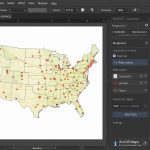
1. Open ArcGIS Map Viewer.
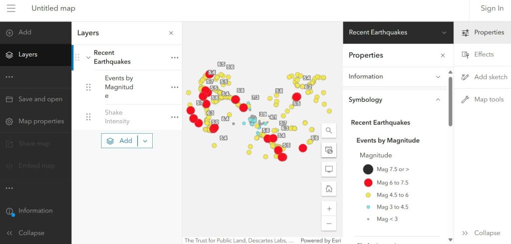
2. First, active the data in map viewer, (e.g.- Recent Earthquakes data – 2025)
So before we get into this content working with these layers, I want to kind of take a test drive or a tour over some of the things in Map Viewer and call out some specific things.
the first is it’s a modern-looking field, and if you use things and if you use things like field maps.
3. You can see that really driven home here with, like, there is a TOC (Table Of Contents) for layers. There is a list for tables, and list for basemaps.
4. Each of these areas has their own workspace for adding content here, but you can still kind of globally add content, and you can add a table from here, you can add a basemap here.
Map Viewer vs Map Viewer Classic
| Feature | Map Viewer (New) | Map Viewer Classic |
|---|---|---|
| Performance | Faster rendering | Slower |
| Symbology | Advanced charts & labels | Limited |
| Experience Builder-ready | ✅ | ❌ |
| Smart Mapping | Enhanced | Basic |