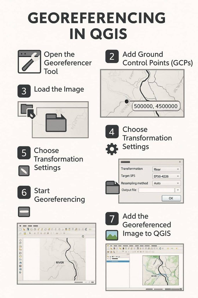
GISRSStudy » QGIS » Page 9

QGIS

QGIS is a Free and Open Source Geographic Information System (GIS) Softtware.

QGIS is available on Windows, macOS, Linux and Android

The current version is QGIS 3.10.2 ‘A Coruña’ and was released. Download and start in below QGIS Tutorial Basic.

In below list of QGIS Tutorial.

Heatmap QGIS

Heatmap in QGIS What is a Heatmap? Heatmap is an interpolation technique useful in determining the density of input features. In this Tutorial Learn, how to create Heatmap in QGIS. Heatmap Plugin in QGIS Heatmap plugin is needed to install are you use to QGIS old version. But if used to a new version of […]

Heatmap QGIS Read More »

Terrain Analysis

Terrain Analysis in QGIS Terrain Analysis is the interpretation of topographic features through Geographic Information Systems (GIS). Such features include Slope, Aspect, Viewshed, Elevation, Contour lines, flow, up-slope flow lines, and down-slope flow lines. It is relationships between ecological processes and physical features. Terrain is a involves the vertical and horizontal dimensions of land surface. Terrain data are often used

Terrain Analysis Read More »

Scroll to Top