ArcGIS World Geocoding Service
Introduction
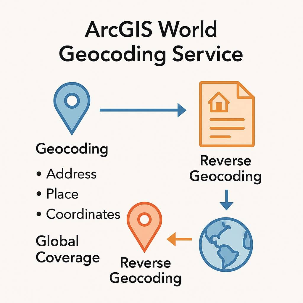
The ArcGIS World Geocoding Service allows you to find addresses or places in the world. The World Geocoding Service is widely available—all you need to access it is an Internet connection and the proper credentials—which may make it unnecessary for you to set up the service on your own instance of ArcGIS Server. The service is intended to simplify the workflows of developers and GIS professionals.
The World Geocoding Services is available as both a geosearch and geocoding service:
- Geosearch Services – is to locate a feature or point of interest and then have the map zoom to that location. The result might be displayed on the map, but the result is not stored in any way for later use.
- Geocoding Services – is to convert an address to an x,y coordinate and append the result to an existing record in a database. Mapping is not always involved, but placing the results on a map may be part of a workflow. An ArcGIS Online subscription will provide you access to the World Geocoding service for batch geocoding.
Features
- Find Geocode addresses and places around the world.
- Filter place search by category type.
- Return candidates in different languages, locales and spatial reference..
- Refine search by location, extent, city, and country code.
- Return specific data fields for each candidate.
- Limit the number of candidates returned.
- Return the rooftop or street location for Point Address candidates.
- Specify the type of city or street name to be included in output fields.
How to Access the Service
To access the geocoding service you need the following:
- An ArcGIS Developer account or ArcGIS Online account.
- An access token (API key or OAuth 2.0).
Example
Learn how to access the geocoding service with different ArcGIS and open source APIs in the Mapping APIs and location services guide.