ArcReader
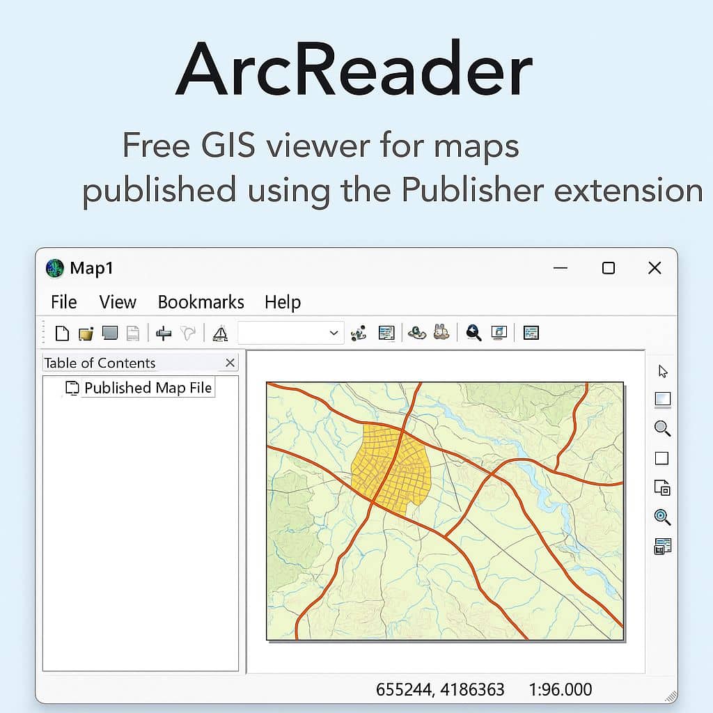
What is ArcReader?
ArcReader is a free, ArcGIS application developed by Esri that allows users to view high-quality interactive maps created using ArcGIS Desktop with the Publisher extension., specifically those saved in the Published Map File (.PMF) format.
ArcReader provides all the GIS users to share maps locally, over networks, and also on the Internet. It’s a live connection to data is a dynamic view. This also makes useful for publishing maps based on ArcGIS Server.
What Can ArcReader Do
| Capability | Description |
|---|---|
| 🗂️ View .PMF files | Open Published Map Files created in ArcMap using the Publisher extension. |
| 🔍 Navigate Maps | Zoom, pan, identify features, and search for attributes. |
| 🖨️ Print Maps | Print maps with layout elements like legends and scale bars. |
| 🧩 Layer Interaction | Turn layers on/off and view their properties (but not edit them). |
| 📌 Query Features | Search for and identify map features by attribute. |
Features
- Controlling the look and feel of Arc-Reader
- Panning and zooming on the map
- Finding, identifying, and accessing data and features
- Table of contents, data frames, and layers
- Navigating to areas of interest using spatial bookmarks
Workflows
- Map Creation: GIS analyst creates a map in ArcMap or ArcGIS Pro.
- Publish Map: The map is exported as a .pmf file using the ArcGIS Publisher extension.
- Distribute Map: The .pmf file is shared with users.
- View with ArcReader: Users open the .pmf file and explore the map.
Download ArcReader
The Arc-Reader 10.8.2 update planned for December 2021 will be the last release. The software will continue to be available as a download from My Esri.
The online documentation available of the Arc-Reader Product Support Life Cycle.
ArcReader Tutorial
Before you can start, ArcReader must be installed on your computer.
Start ArcReader
Go to your Program files > ArcGIS and click ArcReader.
You can also open Arc-Reader from the command (cmd) line. Open “cmd” prompt, Type “<install_dir\arcreader.exe>”. For example, <D:\program files\ArcGIS\Desktop\bin\arcreader.exe>.
Open Map
Navigate to your folder in where you saved published map (.pmf).
Double-click the published map, it will launch Arc-Reader and display the map.
You can also open map through Arc-Reader application;
- Click the Open button
 , or click the File menu and click Open.
 - Click the Look In drop-down arrow, and navigate to the folder that present the map.
- Click the map you want to open.
- Click Open.
Limitations
- Cannot create, edit, or analyze data.
- Only supports .pmf format — not compatible with ArcGIS Pro or newer data sharing tools.
- No support for modern web-based sharing workflows (e.g., ArcGIS Online).