QGIS

QGIS is a Free and Open Source Geographic Information System (GIS) Softtware.

QGIS is available on Windows, macOS, Linux and Android

The current version is QGIS 3.10.2 ‘A Coruña’ and was released. Download and start in below QGIS Tutorial Basic.

In below list of QGIS Tutorial.

Geodatabase in QGIS

QGIS Geodatabase

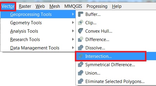
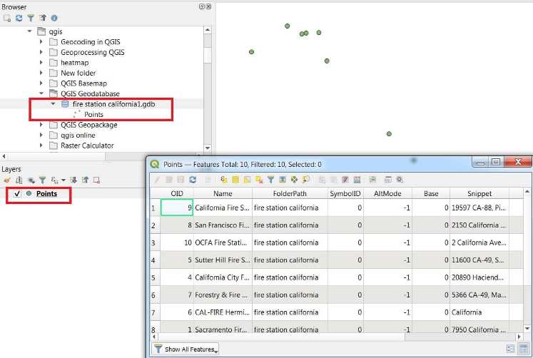
Create Geodatabase in QGIS There are three ways you can open a Geodatabase file in QGIS. Open Geodatabase with QGIS Browser Open a ESRI geodatabase file, using Browser. 1. Open QGIS, look at the Browser in the layer panel. If it doesn’t appear in your QGIS go to View, Panels and check Browser. 2. In […]

QGIS Geodatabase Read More »

QGIS Raster Analysis

QGIS Raster Analysis

Raster Analysis in QGIS In QGIS raster allow you to gain more insight into the terrain that they represent. In this lesson you will use terrain analysis tools to find out more about the study area for the proposed residential development. Open all the Raster analysis tool in QGIS. In the Toolbar menu, click on

QGIS Raster Analysis Read More »

QGIS Union

Union in QGIS QGIS only allows two layers for using the Union Tool. The Union operation with a single input layer of three overlapping features. How Union works This algorithm checks overlaps between features within the Input layer and creates separate features for overlapping and non-overlapping parts. The area of overlap will create as many

QGIS Union Read More »

Intersection in QGIS

QGIS Intersect

Intersection in QGIS In QGIS, the Intersect tool is used to compute the geometric intersection of two layers — it extracts features that overlap in both input layers and keeps their shared geometry and attributes. Intersection operation between a two-features input layer and a single feature overlay layer. Extracts the portions of features from the

QGIS Intersect Read More »

QGIS Dissolve

Dissolve in QGIS QGIS Dissolve functions allow dissolving objects based on shared attribute. As a result, you receive a new layer with multi-part objects. How Dissolve works This algorithm takes a vector layer and combines their features into new features. One or more attributes can be specified to dissolve features belonging to the same class

QGIS Dissolve Read More »

Scroll to Top