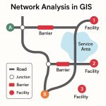
Overlay Analysis ArcGIS
Overlay analysis is a technique for applying a common scale of values to diverse and dissimilar inputs to create an integrated analysis.
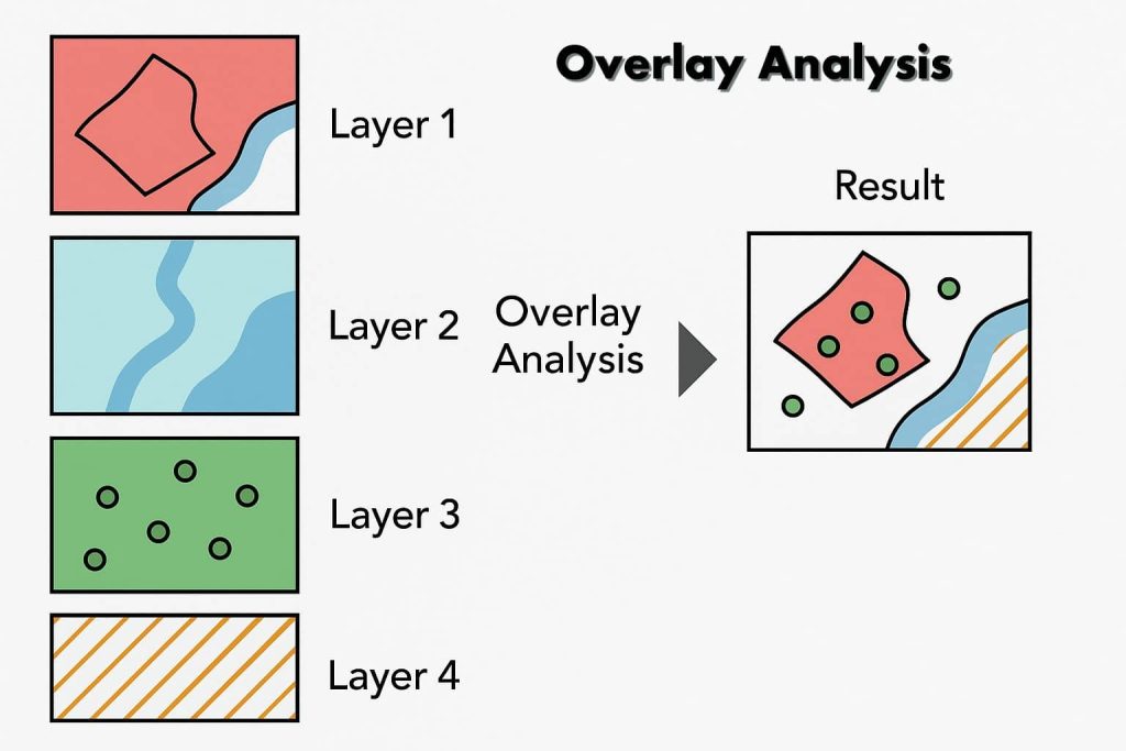
Overlay Analysis in ArcGIS is a fundamental spatial analysis technique that allows users to combine two or more layers to identify relationships and create new information. It is essential in decision-making processes such as land-use planning, environmental assessment, and resource management.
Overlay Methods
There are two methods for performing overlay analysis:
- Feature overlay– represents points, lines, and polygons.
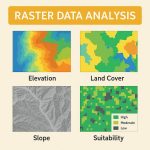
- Raster overlay– represents each cell of each layer references the same geographic location.
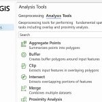
Overlay Toolset
The Overlay toolset contains tools to overlay multiple Feature classes.
Overlay Tools
Raster Overlay Tools
| Tool | Uses |
|---|---|
| Zonal Statistics | Summarizes values in a raster layer by zones in another layer. |
| Combine | Assigns a value to each cell in the output layer based on unique combinations of values from several input layers. |
| Weighted Overlay | Automates the raster overlay process and lets you assign weights to each layer before adding. |
| Weighted Sum | Overlays several rasters, multiplying each by their given weight and summing them together. |
Vector Overlay Tools
| Tool | Uses |
|---|---|
| Identity | Computes a geometric intersection of the input features and identity features. The input features or portions of that overlap identity features will get the attributes of those identity features. |
| Intersect | Features or portions of features which overlap in all layers or feature classes will be written to the output feature class. |
| Symmetrical difference | Features or portions of features in the input and update features that do not overlap will be written to the output feature class. |
| Union | Computes a geometric union of the input features. All features and their attributes will be written to the output feature class. |
| Update | The attributes and geometry of the input features are updated by the update features in the output feature class. |