SRTM- Shuttle Radar Topography Mission
On 23 September 2014, the White House announced that the highest-resolution topographic data generated from NASA‘s that is Shuttle Radar Topography Mission (SRTM), it was released globally by late 2015.
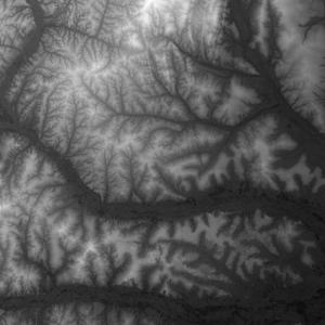
The Shuttle Radar Topography Mission is elevation data on a near-global scale, acquired from the Space Shuttle, to generate the most complete high-resolution digital topographic database of Earth.
SRTM data have been enhanced to fill areas of missing data to deliver Digital Elevation data with a resolution of 1 arc-second for global range.

Specifications
| Aspect | Details |
|---|---|
| Mission Date | February 11–22, 2000 |
| Sensor Type | Interferometric Synthetic Aperture Radar (InSAR) |
| Platform | Space Shuttle Endeavour |
| Coverage | 60°N to 56°S latitude (about 80% of Earth’s land surface) |
| Data Type | Digital Elevation Model (DEM) |
| Resolution | Originally 1 arc-second (≈30m), 3 arc-seconds (≈90m) |
| Vertical Accuracy | ±16 meters |
| Horizontal Accuracy | ±20 meters |
SRTM Data Products
3 types of data Products;
- 1 Arc-Second Global
1 Arc-Second Global elevation data offer worldwide coverage of void filled data at a resolution of 1 arc-second (30 meters) and provide open distribution of this high-resolution global data set.
- Void Filled
Void Filled elevation data are the result of additional processing to address areas of missing data.This data is 1 arc-second for the United States and 3 arc-seconds for global coverage.
- Non-Void Filled
Non-Void Filled elevation data were processed from C-band radar signals spaced at intervals of 1 arc-second at NASA’s Jet Propulsion Laboratory (JPL)
SRTM Data Download
Many sources are available to download SRTM Data. Top 3 sources:
Data Versions
- SRTM1:
- Resolution: ~30 meters
- Available for U.S. and later released globally
- SRTM3:
- Resolution: ~90 meters
- Initially the only global product
- SRTM Void-Filled:
- Gaps filled using interpolation or other datasets like ASTER or GDEM
- SRTM Plus (or Finished):
- Enhanced version with improved void-filling and corrections
Applications
- Topographic mapping
- Watershed and hydrologic modeling
- Flood risk analysis
- Land cover classification
- Infrastructure planning
- 3D terrain visualization