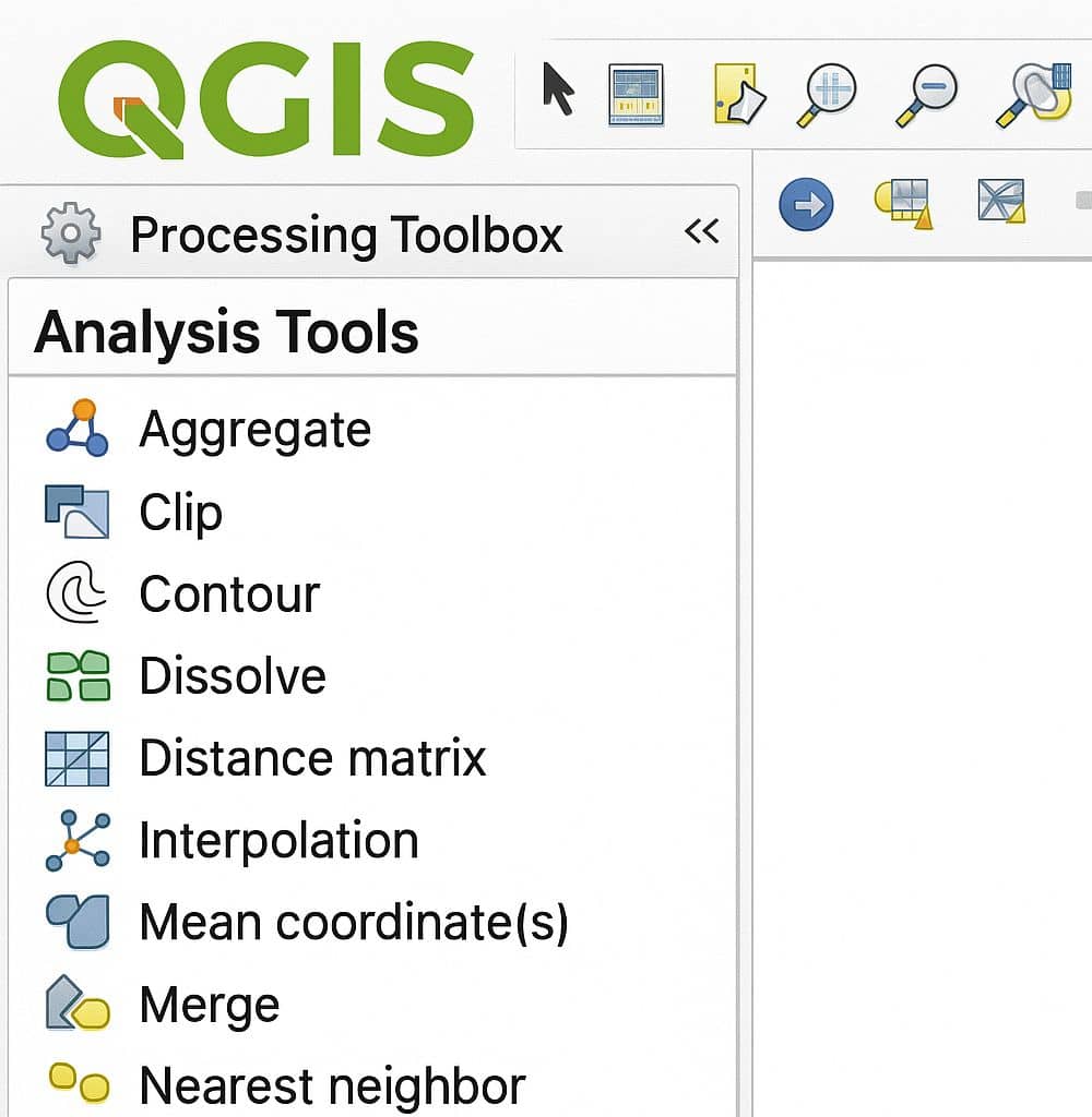
QGIS

QGIS is a Free and Open Source Geographic Information System (GIS) Softtware.

QGIS is available on Windows, macOS, Linux and Android

The current version is QGIS 3.10.2 ‘A Coruña’ and was released. Download and start in below QGIS Tutorial Basic.

In below list of QGIS Tutorial.

QGIS Clip

Clip in QGIS Clip is a tool to cuts out a portion just like cookie cutter. Clips any OGR-supported vector layer by a polygon. This tool will use two shapefiles to select features and let you save the selection as a new shapefile. How Clip works This algorithm clips a vector layer using the features […]

QGIS Clip Read More »

Buffer in QGIS

Buffer in QGIS Buffering usually creates two areas: one area that is within a specified distance to selected real world features and the other area that is beyond. The area that is within the specified distance is called the buffer zone. In a GIS Application, buffer zones are always represented as vector polygons enclosing other

Buffer in QGIS Read More »

Geoprocessing QGIS

Geoprocessing in QGIS You can use Geoprocessing Tools in QGIS to perform spatial operations. Geoprocessing Tools Open the Geoprocessing Tools in QGIS; In the Toolbar menu, click on Vector , select Geoprocessing Tools, and see all the available Geoprocessing Tools. Sl No. Tool Purpose 1 Buffer Create buffer around features based on fixed distance based on

Geoprocessing QGIS Read More »

QGIS Analysis Tools- vector analysis

Analysis Tools in QGIS

QGIS Analysis Tools: Vector Analysis Open the Analysis Tools in QGIS; In the Toolbar menu, click on Vector, select Analysis Tools, and see all the available Analysis Tools. Sl No. Tool Purpose 1 Count Points in polygon Count the number of points that occur in each polygon of an input polygon vector layer. 2 Line

Analysis Tools in QGIS Read More »

QGIS Raster Calculator

Raster Calculator QGIS The Raster Calculator helps you to perform calculations on the basis of existing raster pixel values. Raster Calculator Options Four most importance features available in Raster Calculator panel, to executes raster analysis. Raster Bands The Raster bands section loaded all raster layers that can be used. To add a raster to the

QGIS Raster Calculator Read More »

Scroll to Top