QGIS

QGIS is a Free and Open Source Geographic Information System (GIS) Softtware.

QGIS is available on Windows, macOS, Linux and Android

The current version is QGIS 3.10.2 ‘A Coruña’ and was released. Download and start in below QGIS Tutorial Basic.

In below list of QGIS Tutorial.

Geopackage QGIS

Geopackage in QGIS What is QGIS Geopackage The GeoPackage is a database, supports direct use in QGIS. It is the SQLite container database; The GeoPackage open format is a container that allows you to store GIS data in a single file. A single GeoPackage file can contain both vector and raster data in different coordinate […]

Geopackage QGIS Read More »

QGIS Basemap

Basemap In QGIS In other GIS Software, like; ArcGIS, ArcGIS Pro, Erdas Imagine, GRASS GIS, GeoMedia, etc offers a Basemaps. QGIS also provide a many types of Basemap. This tutorial we will three ways to add Basemaps to your QGIS project. How to Add Basemaps in QGIS? If you are new in QGIS, check out

QGIS Basemap Read More »

QGIS Download

Download QGIS Software: Step-by-Step Instructions QGIS is a Free and open-source GIS Software to perform GIS application, and analysis of Geo-spatial data. In this tutorial learn How to use QGIS Desktop Software. Download QGIS Software The current version is QGIS 3.44.0 ‘Solothurn’ and was released. Q-GIS is available on Windows, macOS, Linux and Android. QGIS

QGIS Download Read More »

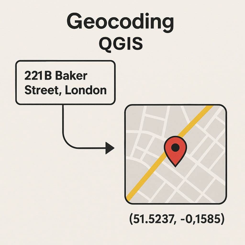
Geocoding QGIS

Geocoding QGIS

Geocoding in QGIS What is Geocoding? A Geocoding is the process in GIS operation to transform a description of a location, such as a pair of coordinates, an address, or a name of a place to a location on a map. The geocoding process are essentially attempts to determine the location of the input address

Geocoding QGIS Read More »

QGIS vs ArcGIS

Difference Between QGIS vs ArcGIS QGIS or Quantum GIS is a Free and open-source software to perform GIS application that supports create, edit, visualise and analysis of Geospatial data. ArcGIS is a powerful GIS application for Mapping and manipulating Data. It is developed and maintained by ESRI. It’s offers to visualize and analyze your data.

QGIS vs ArcGIS Read More »

Scroll to Top