RRC GIS
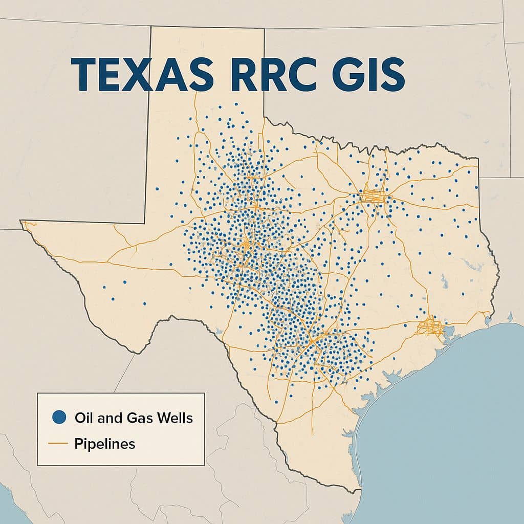
RRC GIS RRC GIS stands for RailRoad Commission of Texas Geographic Information System. The RRC GIS Viewer allows you to view information about wells, pipelines, surveys, LPG/CNG/LNG, Operator Cleanup Program, Voluntary Cleanup Program, Brownfield Response Program, Commercial Waste Disposal sites, Discharge Permits and related features in a map view The default view when you open […]