Free and Open-Source GIS Software
Open-Source GIS refers to GIS software that is freely available for use, modification, and distribution under open licenses. It is supported by global communities of developers and users who contribute to its improvement, ensuring continuous innovation and transparency. Open-source GIS is valued for its cost effectiveness, customization capabilities, and interoperability.
Esri contribute to open-source software events, libraries, tools, and apps. Esri employees have developed over 500 open-source projects on GitHub, most of them licensed under Apache 2.0; regularly contribute to third-party projects like GDAL.
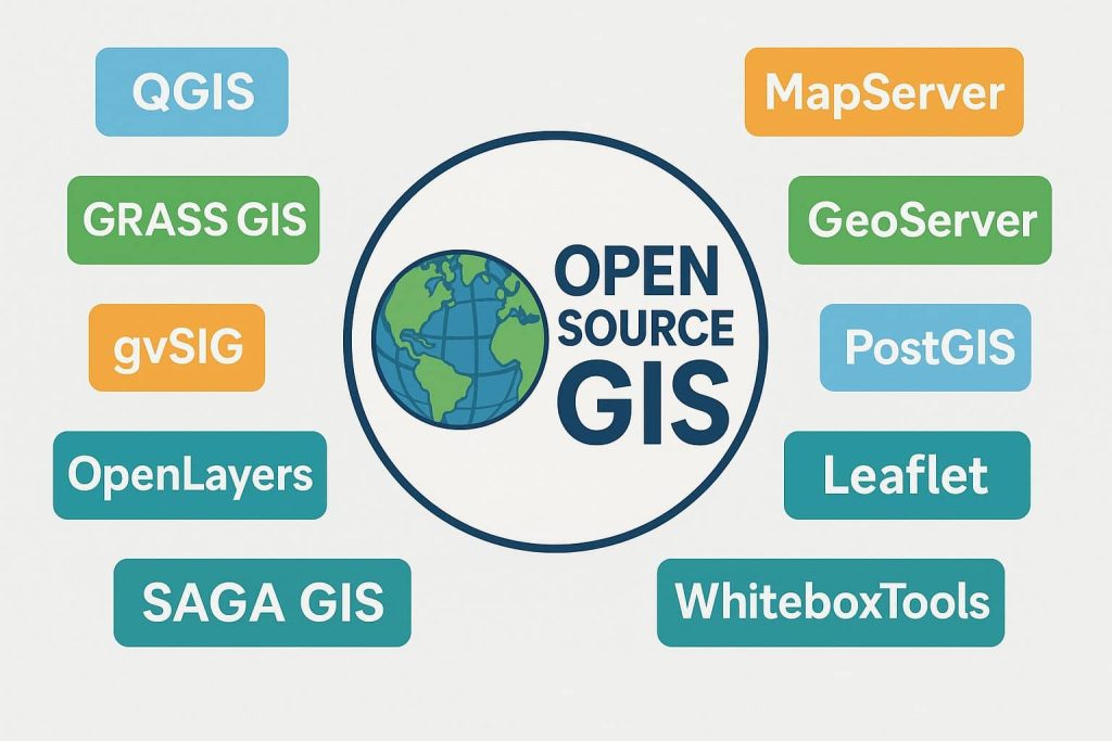
Popular open-source GIS tools include QGIS (for desktop GIS), GRASS GIS (for advanced geospatial analysis), and GeoServer (for serving spatial data via web services). These platforms are widely adopted in academia, government, and industry due to their flexibility and lack of licensing costs.
Benefits of Open-Source GIS:
- ✅ Free to use – No licensing fees
- ✅ Community-driven – Regular updates and plugins
- ✅ Customizable – Access to source code
- ✅ Standards-compliant – Supports OGC standards (WMS, WFS, WCS, etc.)
- ✅ Interoperable – Works with a variety of file formats (GeoTIFF, Shapefile, GeoJSON, etc.)
Now start to create Mapping to use free and Open-Source GIS Software’s. It is freely available, just Download and Install it and use to your project. Below list of best open source (OS) GIS software free download.
List of Free and Open-Source Desktop GIS Software’s
| Software | Key Features |
|---|---|
| QGIS | Most popular open-source desktop GIS, plugin-rich, supports raster/vector editing, Python scripting |
| GRASS GIS | Advanced spatial analysis, geostatistics, raster and vector processing |
| gvSIG | Multilingual support, 2D/3D visualization, good for urban planning and cadastre |
| SAGA GIS | Strong in terrain analysis, hydrology, raster processing |
| ILWIS | Advance image processing (Ortho photo), Land and Water management |
1. QGIS
QGIS (Quantum GIS) is a professional GIS application, user friendly Free Software. The QGIS is an official project of the Open Source Geo-spatial Foundation (OSGeo). It runs on Linux, Unix, Mac OSX, Windows and also Android.
Now Latest version Release QGIS 3.34.

Features:
- A free Geospatial functionally
- Support all data types
- Huge plugin library extends functionality
2. GRASS GIS
GRASS (Geographic Resources Analysis Support System) is a free and open-source Geographic Information System (GIS) software suite used for geo-spatial data management and analysis, image processing, graphics and maps production, spatial modeling, and visualization.
Latest Release: GRASS GIS 7.8.3 with Python 3, PROJ 6 and GDAL 3 support.

Features:
- Advanced image processing
- Perform large geospatial data analysis
- Specializes in terrain manipulation
3. gvSIG
gvSIG The largest professional network of open source Geo-matics. A new model of development based on knowledge sharing, solidarity, and cooperation.
Release gvSIG 2.5 Desktop version.

Features:
- More than 300 Geoporcessing tools are available
- Animation and 3D mapping
- Remote sensing Image processing
4. SAGA
SAGA (System for Automated Geo-scientific Analyses) has been designed to be easy and effective implementation of spatial algorithms and it’s easily approachable user interface with many visualization options.
Release latest version SAGA 7.6.3

Features:
- Automated Geoscientific Analyses
- Geodata processing and analysis
- New functions with a very effective API
5. ILWIS
ILWIS (The Integrated Land and Water Information System) is a remote sensing and GIS software which integrates image and it delivers a wide range of features including import/export, digitizing, analysis and display of data, as well as production of quality maps.
Now Release ILWIS 3.3

Features:
- Land and Water management
- Advance image processing (Ortho photo)
- Integrated raster and vector design
Open-Source Web GIS Software
| Software | Description |
|---|---|
| GeoServer | Server for sharing geospatial data via OGC standards (WMS, WFS, WCS) |
| MapServer | CGI-based map rendering engine for dynamic web maps |
| Leaflet | Lightweight JavaScript library for interactive web maps |
| OpenLayers | Full-featured JavaScript mapping library, OGC compliant |
| Mapbender | Web GIS client framework for managing spatial data services |
Comparison Table
| Software | Desktop | Web | Platform | Use Case |
|---|---|---|---|---|
| QGIS | ✅ | Partial | Win/macOS/Linux | All-purpose GIS |
| GRASS GIS | ✅ | ❌ | Win/macOS/Linux | Scientific, terrain/hydro modeling |
| gvSIG | ✅ | ✅ | Win/macOS/Linux | Urban planning |
| SAGA GIS | ✅ | ❌ | Win/Linux | Terrain analysis |
| ILWIS | ✅ | ❌ | Windows | Land & water management |
| uDig | ✅ | ✅ | Cross-platform | Web-mapping support |
| Whitebox GAT | ✅ | ❌ | Cross-platform | Environmental analysis |
| OpenJUMP | ✅ | ❌ | Cross-platform | Vector data editing |
| MapWindow | ✅ | ❌ | Windows | Simple GIS tasks |
| GeoDa | ✅ | ❌ | Win/macOS/Linux | Spatial data analysis |
| GeoServer | ❌ | ✅ | Server (Java) | Web GIS publishing |