GIS Analysis

GIS Analysis is the process of examining spatial data using Geographic Information Systems to identify patterns, relationships, and trends.
Spatial Analysis
Overlay Analysis
Proximity Analysis
Network Analysis
Surface Analysis

Vector Data Analysis

Vector Data Analysis

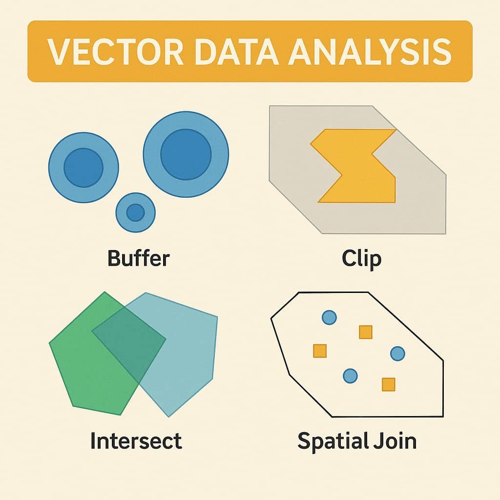
Vector Data Analysis What is Vector Data Analysis? Vector data analysis is fundamental to GIS (Geographic Information Systems) for spatial querying, measurements, and geoprocessing. Vector data represents geographic features using points, lines, and polygons. Examples of Vector Data Analysis In this tutorial describe, three difference types of vector analysis; Vector Analysis Techniques Technique Description Buffer […]

Vector Data Analysis Read More »

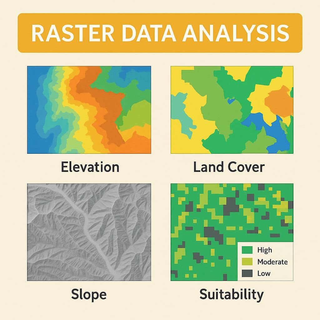
Raster Data Analysis

Raster Data Analysis

Raster Data Analysis What is Raster Data Analysis? Raster data analysis is the process of analyzing geospatial data, such as; Geoprocessing, Surface analysis and Terrain mapping. Raster data are especially suited to continuous data. Continuous data change smoothly across a landscape or surface. Examples of Raster Data Raster Data is classified into various types; they

Raster Data Analysis Read More »

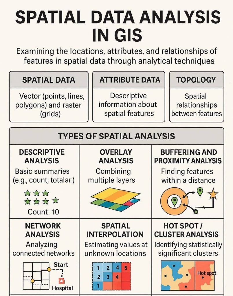
Spatial Data Analysis in GIS

Spatial Data Analysis in GIS

Spatial Data Analysis in GIS Spatial Data Analysis is one of the core components of Geographic Information Systems (GIS). It involves examining the locations, attributes, and relationships of features in spatial data through various analytical techniques. The goal is to extract meaningful patterns, trends, and insights that support decision-making and problem-solving. Spatial Data Analysis involves

Spatial Data Analysis in GIS Read More »

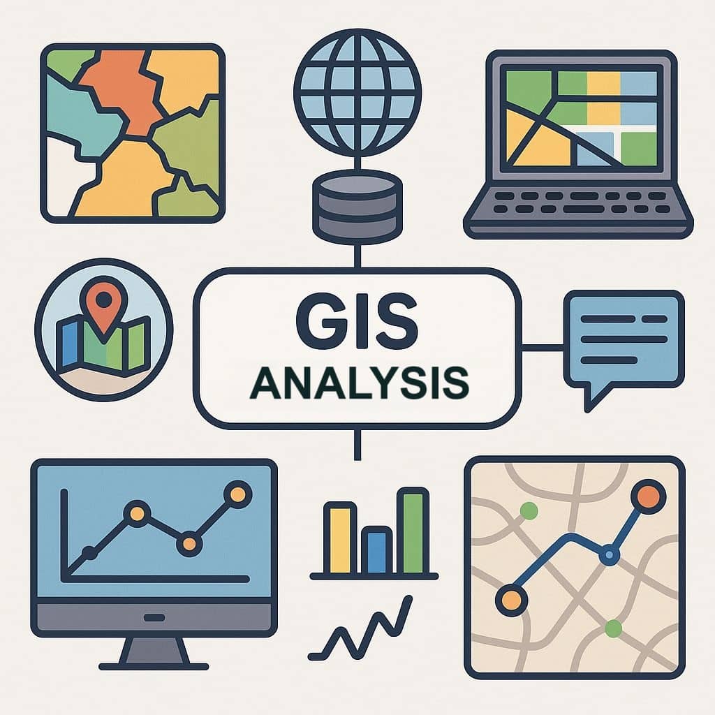
GIS Analysis

GIS Analysis

Analysis of GIS GIS Analysis provides a broad range of powerful spatial modeling and analysis features. Using GIS Spatial Analyst, for users can create, query, map, and analyze cell-based Raster data; perform integrated Raster or Vector analysis. It helps in decision-making across many fields such as urban planning, environmental management, disaster response, and business logistics.

GIS Analysis Read More »

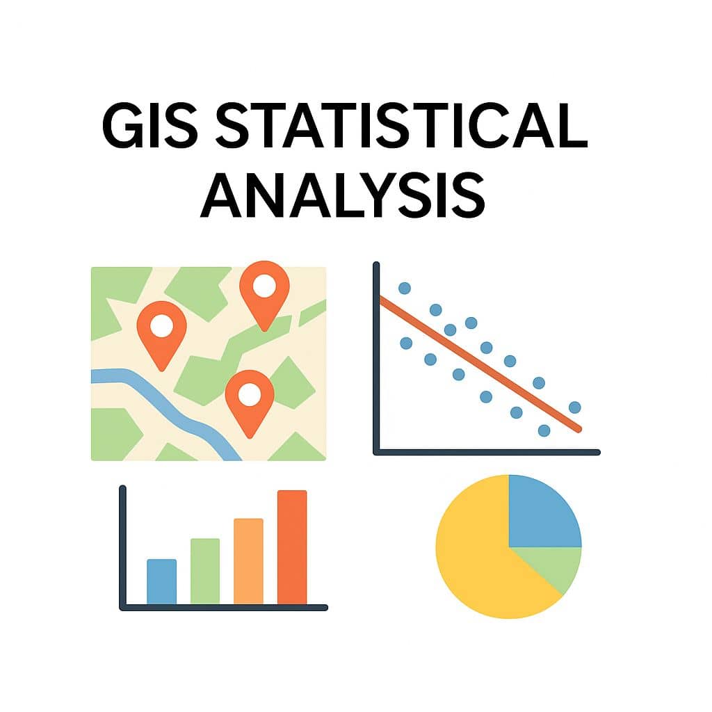
GIS Statistical Analysis

GIS Statistical Analysis

GIS Statistical Analysis Introduction Statistics is the science that deals with collecting, analyzing, interpreting, and presenting data; informing decision-making. However, statistics alone are not relevant without being associated with a specific place. Statistical analysis helps you extract additional information from your GIS data, such as how attribute values are distributed, whether there are spatial trends

GIS Statistical Analysis Read More »

Scroll to Top