ArcGIS 3D Analyst
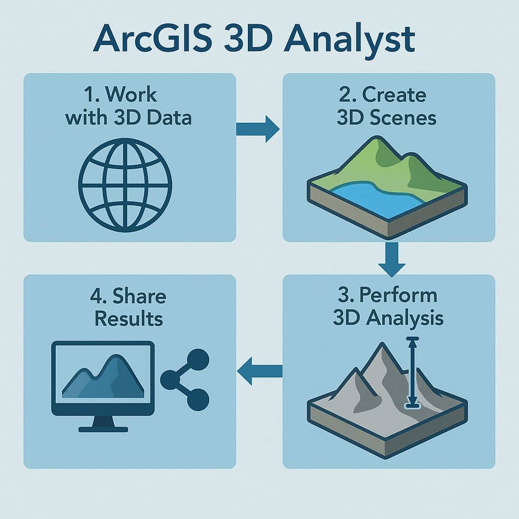
ArcGIS 3D Analyst ArcGIS 3D Analyst comes with true 3D analysis tools that can help you determine the contour, slope, or elevation of a region. Its help you to Quickly generate 3D master plans, publish and share your 3D scenes of the public. Use 3D Analyst for Server to share your 3D Analyst tools and […]