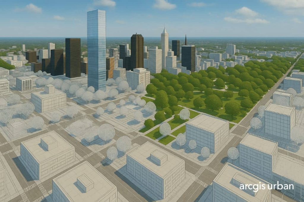
3D GIS

3D GIS provides with a deep understanding of the world through realistic visualizations, insightful analysis, and immersive experiences.

Triangulated Irregular Network

Triangulated Irregular Network (TIN) Triangulated Irregular Network (TIN) represents surface morphology. TINs are a form of vector-based digital Geographic data and are constructed by triangulating a set of points (vertices). The vertices are connected with a series of edges to form a network of triangles. In this Tutorial, Learn how to create TIN in ArcScene. […]

Triangulated Irregular Network Read More »

ArcGIS Pro 3D

ArcGIS Pro – 3D The Cration of ArcGIS Pro 3D is amazing, better view and understanding of the proper model. It is easy to create and use for any Planning as well as Business purpose. In this Tutorial Learn ArcGIS Pro 3D – Convert a Map to a Scene. 3D view in ArcGIS Pro Create

ArcGIS Pro 3D Read More »

Scroll to Top