GIS

GIS (Geographic Information System) is a framework to organize, communicate, and understand the science of our world. GIS integrates many types of data. It analyzes spatial location and organizes layers of information into visualizations using maps and 3D scenes. Every field are using GIS to make maps that communicate, perform analysis, share information, and solve complex problems around the world.

In below list of GIS Analysis Tutorial.

Digital Elevation Model-DEM data

Download DEM

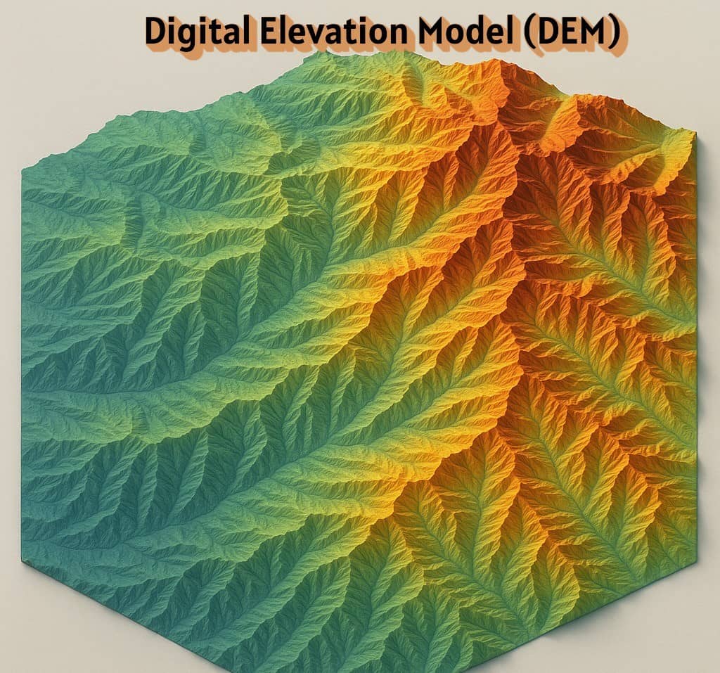
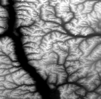
Digital Elevation Model (DEM) Download Digital Elevation Model (DEM) widely known as a Digital Terrain Model (DTM). A DEM can be used to create topographic maps of overland terrain, as well as bathymetric maps. A DEM data can be represented as a raster dataset, or as a vector-based Triangular Irregular Network (TIN). Best 6 Free […]

Download DEM Read More »

GeoTIFF

GeoTIFF: A Complete Guide to Downloading and Using GeoTIFF Files What is GeoTIFF? The GeoTIFF stands for Geographic Tagged Image File Format. It was initially developed during the 1990s. Geographic TIFF is a format extension for storing Georeference and Geocoding information in a TIFF format. It can store a broad range of geo-referencing information, as

GeoTIFF Read More »

Bhuvan NRSC

Bhuvan NRSC Bhuvan portal allows you to access Geo Spatial Services, provided satellite data of IRS sensors, satellite derived products pertaining to various themes and domains. Also specific database information is shortlisted here better visualisation of the summary of information. National Remote Sensing Centre (NRSC) has the mandate for establishment of ground stations for receiving

Bhuvan NRSC Read More »

Scroll to Top