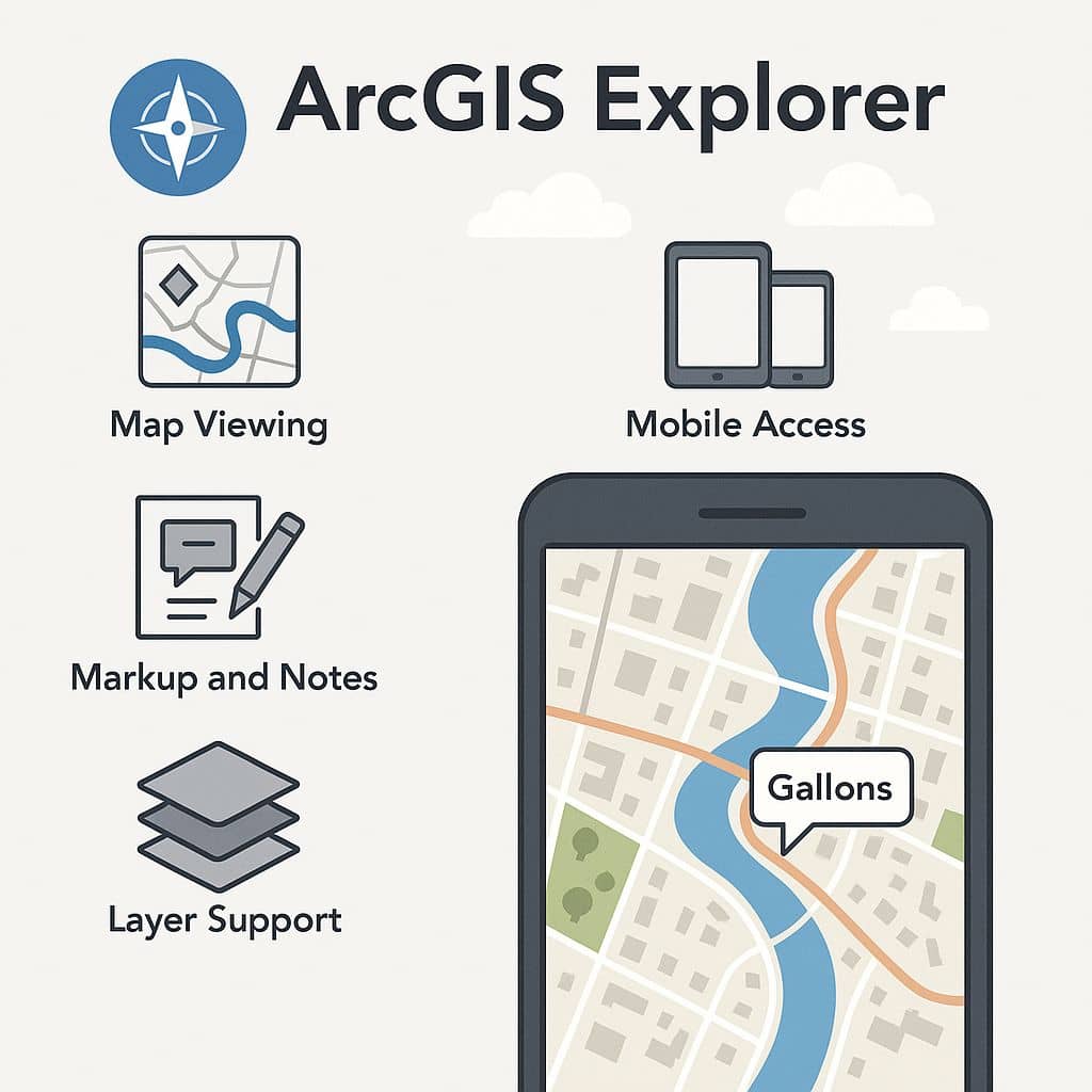
GISRSStudy » ArcGIS » Page 19

ArcGIS

ArcGIS Developed by ESRI,  use for mapping and analytics platform.

ArcMap Provides GIS and Mapping Products- ArcGIS Online, ArcGIS Pro, ArcGIS Enterprise, ArcGIS for Developers.

In below list of ArcGIS Tutorial.

Kriging ArcGIS

kriging in ArcGIS What is Kriging? Kriging is an advanced geostatistical procedure that generates an estimated surface from a scattered set of points with z-values.? An Kriging assumes the distance or direction between sample points reflects a spatial correlation that can be used to explain variation in the surface. The Kriging tool fits a mathematical […]

Kriging ArcGIS Read More »

ArcGIS Overlay Analysis

Overlay Analysis ArcGIS Overlay analysis is a technique for applying a common scale of values to diverse and dissimilar inputs to create an integrated analysis. Overlay Methods There are two methods for performing overlay analysis: Feature overlay– represents points, lines, and polygons. Raster overlay– represents each cell of each layer references the same geographic location.

ArcGIS Overlay Analysis Read More »

NIFC ArcGIS

National Interagency Fire Center in ArcGIS NIFC ArcGIS Online The NIFC stand for National Interagency Fire Center, it has ArcGIS Online Organization was established in 2015 to create an interagency working environment for wildland fire digital mapping and data collection. NIFC Features NIFC Open Data Explore Data Categories NIFC User Account Accounts in the NIFC

NIFC ArcGIS Read More »

ArcGIS NDVI

NDVI Classification ArcGIS What is NDVI? NDVI stand for Normalized Difference Vegetation Index describes the vegetation density and assessing changes in plant health. NDVI is calculated as a ratio between the red (R) and near-infrared (NIR). In this tutorial learn how to apply the NDVI Formula and calculate vegetation patterns. NDVI Formula (NIR – R) / (NIR + R) NDVI always

ArcGIS NDVI Read More »

ArcGIS Open Data

Open Data ArcGIS Introduction ArcGIS Open Data enables all types of GIS data formats, it’s bring Vector and Raster data. Open data capabilities come included in ArcGIS Online, no additional purchases or training are needed. You’ll be able to successfully share the data that you’re already collecting, maintaining, and curating using workflows and best practices.

ArcGIS Open Data Read More »

Scroll to Top