GIS Analysis

GIS Analysis is the process of examining spatial data using Geographic Information Systems to identify patterns, relationships, and trends.
Spatial Analysis
Overlay Analysis
Proximity Analysis
Network Analysis
Surface Analysis

QGIS Raster Analysis

QGIS Raster Analysis

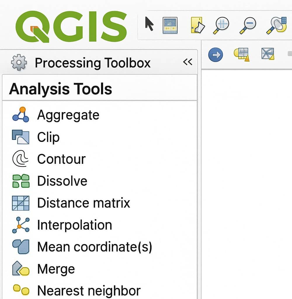
Raster Analysis in QGIS In QGIS raster allow you to gain more insight into the terrain that they represent. In this lesson you will use terrain analysis tools to find out more about the study area for the proposed residential development. Open all the Raster analysis tool in QGIS. In the Toolbar menu, click on […]

QGIS Raster Analysis Read More »

QGIS Analysis Tools- vector analysis

Analysis Tools in QGIS

QGIS Analysis Tools: Vector Analysis Open the Analysis Tools in QGIS; In the Toolbar menu, click on Vector, select Analysis Tools, and see all the available Analysis Tools. Sl No. Tool Purpose 1 Count Points in polygon Count the number of points that occur in each polygon of an input polygon vector layer. 2 Line

Analysis Tools in QGIS Read More »

ArcGIS Pro Overlay Analysis

Overlay Analysis ArcGIS Pro

ArcGIS Pro Overlay Analysis Overlay analysis in ArcGIS Pro is a technique for applying a common scale of values to diverse and dissimilar inputs to create an integrated analysis. Overlay Analysis is a key spatial analysis method used to combine multiple layers of geographic data to discover relationships between them. It’s commonly used in land

Overlay Analysis ArcGIS Pro Read More »

ArcGIS Analysis Tools

ArcGIS Analysis Tools

Analysis Tools: ArcGIS The ArcGIS Analysis toolbox contains a powerful set of tools that perform the most fundamental GIS operations. You can perform overlays, create extract, calculate statistics, and proximity analysis. The Analysis toolbox has four toolsets. Each toolset performs specific GIS analysis of feature data. Analysis Toolset & Tools Toolsets Description Extract The Extract

ArcGIS Analysis Tools Read More »

Neighborhood Analysis

Neighborhood Analysis in GIS

Neighborhood Analysis: GIS Neighborhood analysis evaluates the spatial relationship between a cell and its neighboring cells (in raster data) or a feature and its nearby features (in vector data). Introduction The GIS filtering process is sometimes referred to as scanning but is not to be confused with data capture via a digital camera. Neighborhood analysis

Neighborhood Analysis in GIS Read More »

Scroll to Top