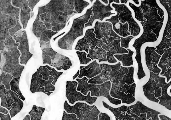
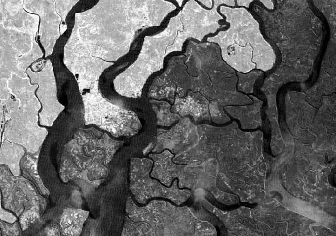
Remote Sensing

Remote sensing (RS) is an art and science of obtaining information about physical characteristics of an area by measuring its reflected and emitted radiation at a distance to help of Satellite or Aircraft.

In below list of Remote sensing Analysis Tutorial.

Infrared Remote Sensing

Infrared Remote Sensing

Infrared Remote Sensing What is Infrared? Infrared is Electromagnetic Radiation (EMR) with wavelengths longer than those of visible light and shorter than radio waves. These range from about 700 nanometers (nm) to 1 millimeter (mm). Infrared remote sensing makes use of infrared sensors to detect infrared radiation(IR) emitted from the Earth’s surface. The mid-wave infrared

Infrared Remote Sensing Read More »

Remote Sensing Data

Remote Sensing Data

Remotely Sensed Data Introduction To the Earth’s surface without physical contact collect data through satellites, aircraft, or drones, that’s call Remote Sensing Data. Remotely sensed data are the main data source used for land use mapping. This data are frequently used to identify specific plant species or vegetation types of indicative of wetlands. The most

Remote Sensing Data Read More »

Scroll to Top