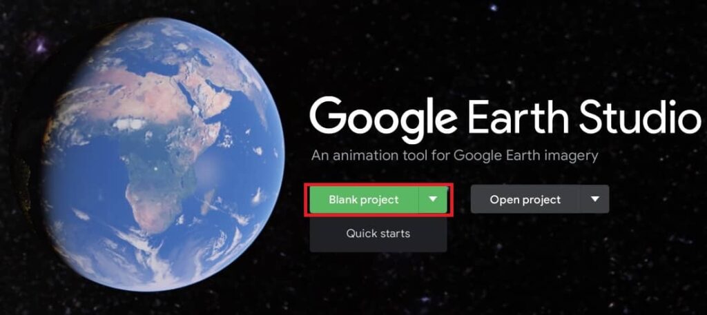
Remote Sensing

Remote sensing (RS) is an art and science of obtaining information about physical characteristics of an area by measuring its reflected and emitted radiation at a distance to help of Satellite or Aircraft.

In below list of Remote sensing Analysis Tutorial.

Google Earth Studio

Google Earth Studio

Google Earth Studio Tutorial Earth Studio is an animation tool for Google Earth’s satellite and 3D imagery. What is Google Earth Studio? Earth Studio is a web-based animation tool for Google Earth 3D and satellite imagery. It has a massive store of satellite and aerial 2D and 3D Earth data, from large-scale geological features to individual […]

Google Earth Studio Read More »

Google Earth Engine

Google Earth Engine

Google Earth Engine Tutorial Google Earth Engine is a planetary-scale platform for Earth science data and analysis. What is the Earth Engine? Earth Engine is a platform for scientific analysis and visualization of geospatial datasets, with planetary-scale analysis capabilities. It is hosts satellite imagery and stores it in a public data archive that includes historical

Google Earth Engine Read More »

Esri World Imagery

Esri World Imagery

Esri World Imagery Esri curates thousands of maps, apps, and datasets from authoritative and commercial sources and makes them available to you, ready to use, via ArcGIS Living Atlas of the World. Access one meter or better aerial and satellite imagery of the world, with political boundaries and placenames. It is widely used in GIS

Esri World Imagery Read More »

Post Image Processing

Image Post Processing In this Tutorial perform Post Image Processing/ Image Classification Vectorization in Erdas Imagine Software. For many specialized applications, classifying data that have been merged, spectrally merged or enhanced with principal components, image algebra, or other transformations can produce very specific and meaningful results. However, without understanding the data and the enhancements used,

Post Image Processing Read More »

Remote Sensing Satellites work

Remote Sensing Satellites

Remote Sensing Satellite Remote Sensing (RS) technology based on Satellites system. This technology began with the early use of Aerial Photography, then it’s shifted satellites. These satellites orbit the Earth and capture images or data in various wavelengths of the electromagnetic spectrum, such as visible, infrared, or microwave. Remote sensing satellites are also called Earth

Remote Sensing Satellites Read More »

Scroll to Top