GIS

GIS (Geographic Information System) is a framework to organize, communicate, and understand the science of our world. GIS integrates many types of data. It analyzes spatial location and organizes layers of information into visualizations using maps and 3D scenes. Every field are using GIS to make maps that communicate, perform analysis, share information, and solve complex problems around the world.

In below list of GIS Analysis Tutorial.

Vector Data Analysis

Vector Data Analysis

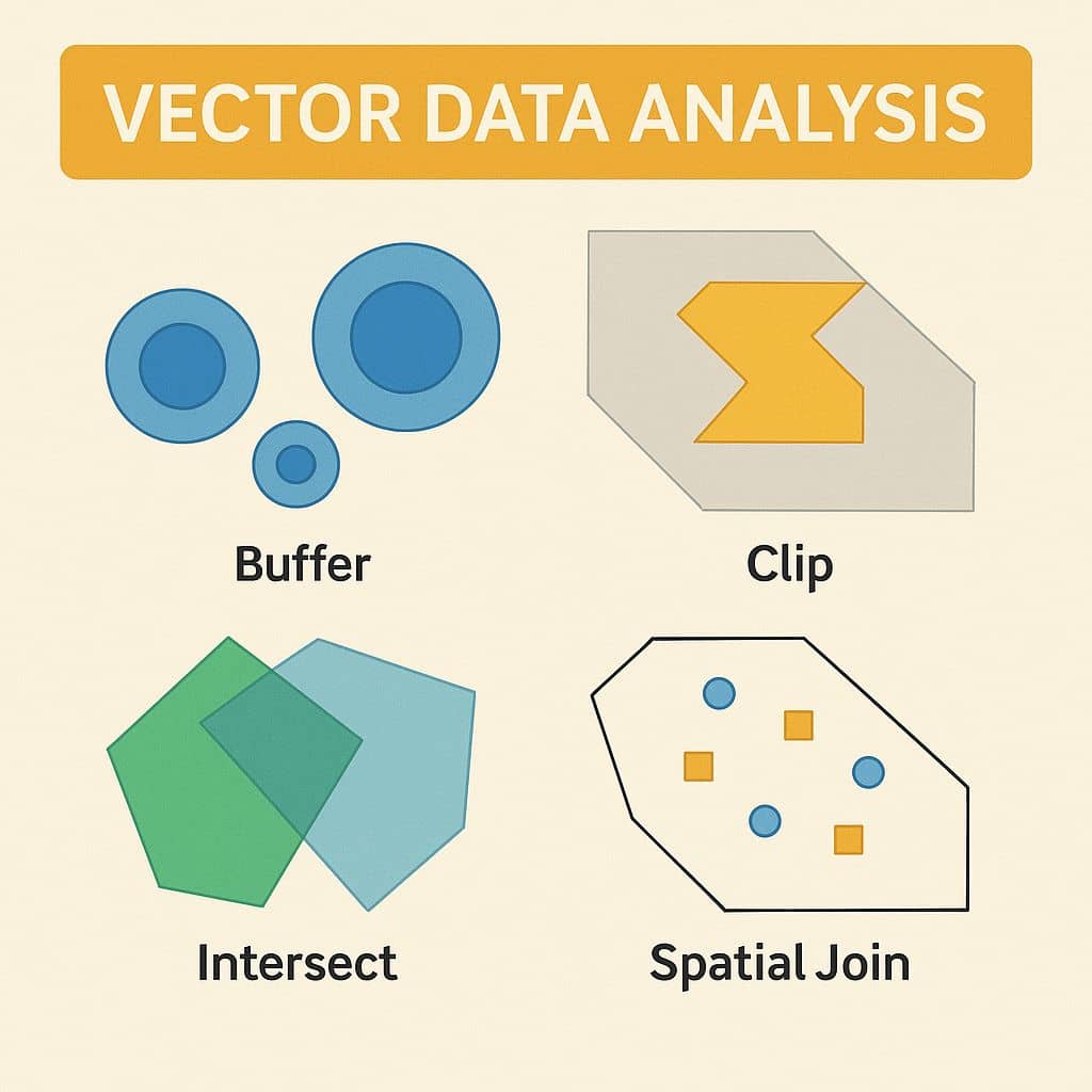
Vector Data Analysis What is Vector Data Analysis? Vector data analysis is fundamental to GIS (Geographic Information Systems) for spatial querying, measurements, and geoprocessing. Vector data represents geographic features using points, lines, and polygons. Examples of Vector Data Analysis In this tutorial describe, three difference types of vector analysis; Vector Analysis Techniques Technique Description Buffer […]

Vector Data Analysis Read More »

Raster Data Analysis

Raster Data Analysis

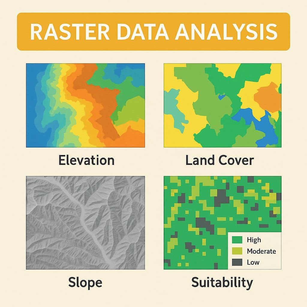
Raster Data Analysis What is Raster Data Analysis? Raster data analysis is the process of analyzing geospatial data, such as; Geoprocessing, Surface analysis and Terrain mapping. Raster data are especially suited to continuous data. Continuous data change smoothly across a landscape or surface. Examples of Raster Data Raster Data is classified into various types; they

Raster Data Analysis Read More »

GIS Data Models

GIS Data Models

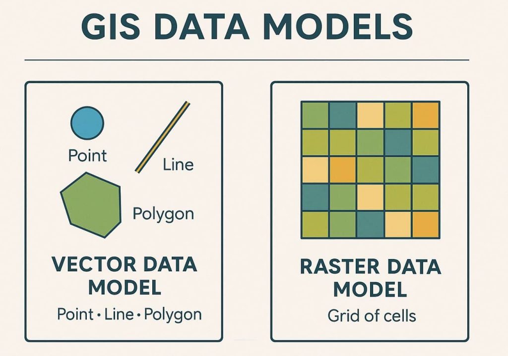
Spatial Data Models in GIS In Geographic Information Systems (GIS), spatial data models serve as a framework for digitally representing the real world. It defines how different elements of geographic information are structured, stored, and related to each other within a GIS database. These models capture the geometry (e.g., shape, location) and attributes (e.g., name,

GIS Data Models Read More »

GIS Cloud

Cloud GIS In today’s interconnected world, understanding spatial relationships is as critical as interpreting facts or statistics. Geographic Information Systems (GIS) have long served as a cornerstone for spatial analysis, enabling users to collect, manage, analyze, and visualize geospatial data. Traditionally, GIS demanded robust local infrastructure, including high-powered desktops, expensive proprietary software, and intricate databases.

GIS Cloud Read More »

Polaris GIS Property map

POLARIS GIS

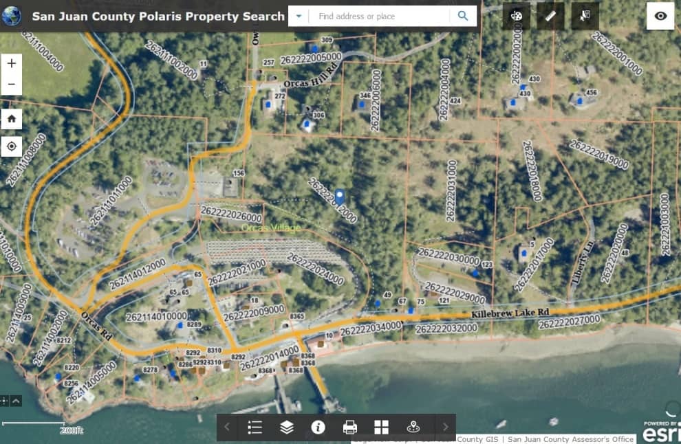
POLARIS GIS POLARIS offering a wide spectrum of GIS, remote sensing, mapping, and data analysis services to public and private sector clients both domestically and internationally. What is POLARIS GIS? POLARIS is a specialist consultancy offering a diverse range of geospatial services to private and public sector clients in the UK and internationally. It is

POLARIS GIS Read More »

Scroll to Top