Projected Coordinate System
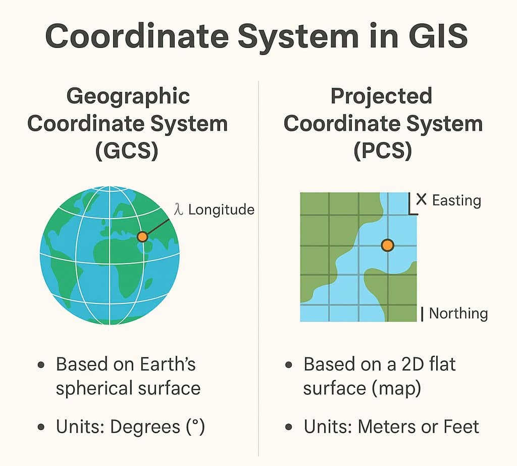
What is the Projected Coordinate System? A Projected Coordinate System (PCS) is a flat, two-dimensional surface of the Earth. It is based on a sphere or spheroid Geographic Coordinate System (GCS). In a PCS identified by x,y coordinates on a grid. The ‘X’ lines represent longitude, and ‘Y’ lines represent latitude. Projected Coordinate Systems in […]