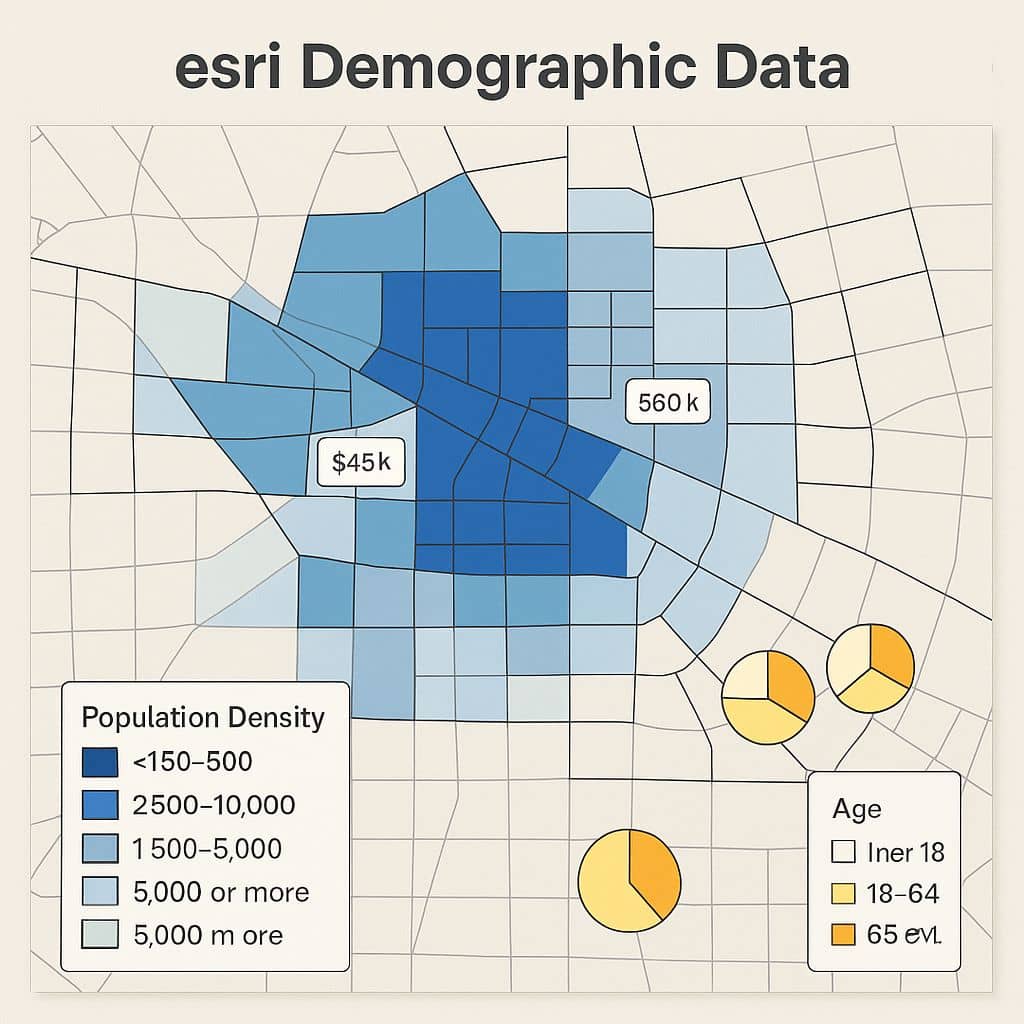
Esri Demographic Data
Esri Demographics What is Esri Demographics? Esri Demographic data help you to understand people and population division. Demographics are available both globally and locally, with access to over 15,000 ready-to-use demographic data variables from more than 170+ countries around the globe. Esri Demographics is available in several ways: Features Esri Demographics Data The Esri Demographics data […]