Spatial Analysis

Spatial Analysis is a type of Geographical Analysis, explain the patterns of physiocal, as well as human behavior and its Spatial expression in terms of mathematics and geometry.

Spatial Data Science

Spatial Data Science

Spatial Data Science What is Spatial Data Science? Spatial Data Science is a subset of Data Science techniques that focuses on the characteristics of spatial data, (geographic or location-based data) to extract meaningful insights, patterns, and predictions. Its allows analysts to extract deeper insight from data using a comprehensive set of analytical methods and spatial […]

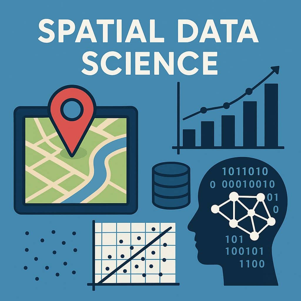
Spatial Data Science Read More »

Spatial Data Analysis in GIS

Spatial Data Analysis in GIS

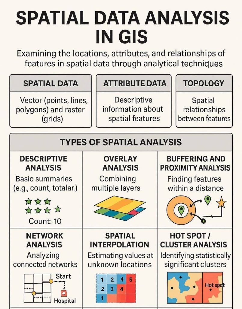
Spatial Data Analysis in GIS Spatial Data Analysis is one of the core components of Geographic Information Systems (GIS). It involves examining the locations, attributes, and relationships of features in spatial data through various analytical techniques. The goal is to extract meaningful patterns, trends, and insights that support decision-making and problem-solving. Spatial Data Analysis involves

Spatial Data Analysis in GIS Read More »

Spatial Analysis in GIS

Spatial Analysis in ArcGIS

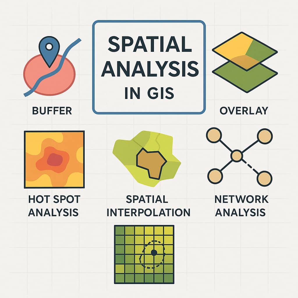
Spatial Analysis in GIS: ArcGIS What is Spatial Analysis? Spatial analysis is the process of using geographic data to solve real-world problems by analyzing locations, attributes, distances, and patterns. Spatial Analysis in Geographic Information Systems (GIS) involves evaluating spatial relationships, patterns, and trends using geospatial data. It helps in decision-making, modeling, and prediction by answering

Spatial Analysis in ArcGIS Read More »

Terrain Analysis in GIS

Terrain Analysis

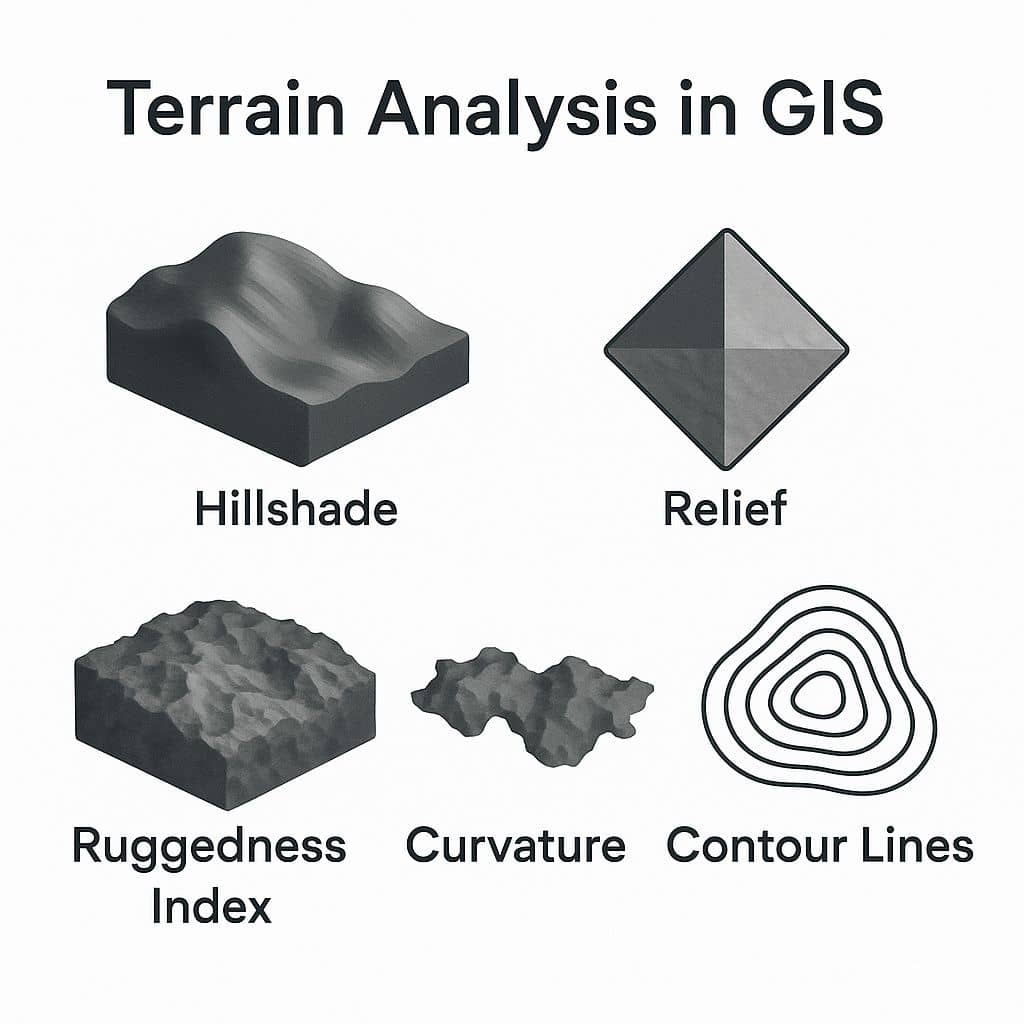
Terrain Analysis in GIS Terrain Analysis is the interpretation of topographic features through Geographic Information Systems (GIS). Such features include Slope, Aspect, Viewshed, Elevation, Contour lines, flow, up-slope flow lines, and down-slope flow lines. It is relationships between ecological processes and physical features. Terrain is a involves the vertical and horizontal dimensions of land surface. Terrain data are often used

Terrain Analysis Read More »

Surface Analysis in GIS

Surface Analysis

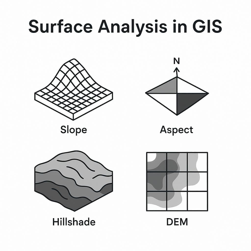
Surface Analysis in GIS Surface Analysis represents height values for an Elevation surface or structure of a Surface. In this Tutorial, learn How to create different types of Surface Analysis map in ArcGIS. Term Description Slope Measures the steepness or degree of incline of a surface. Aspect Direction a slope faces (e.g., north, south). Hillshade

Surface Analysis Read More »

Scroll to Top