ENVI
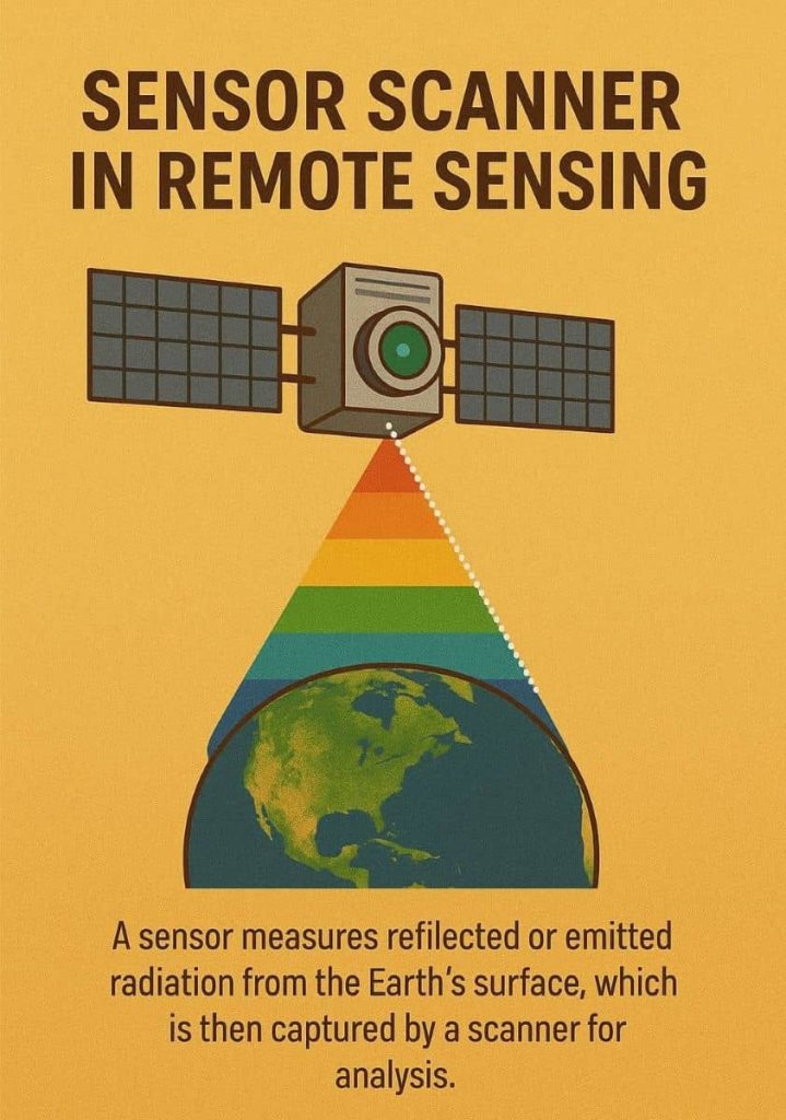
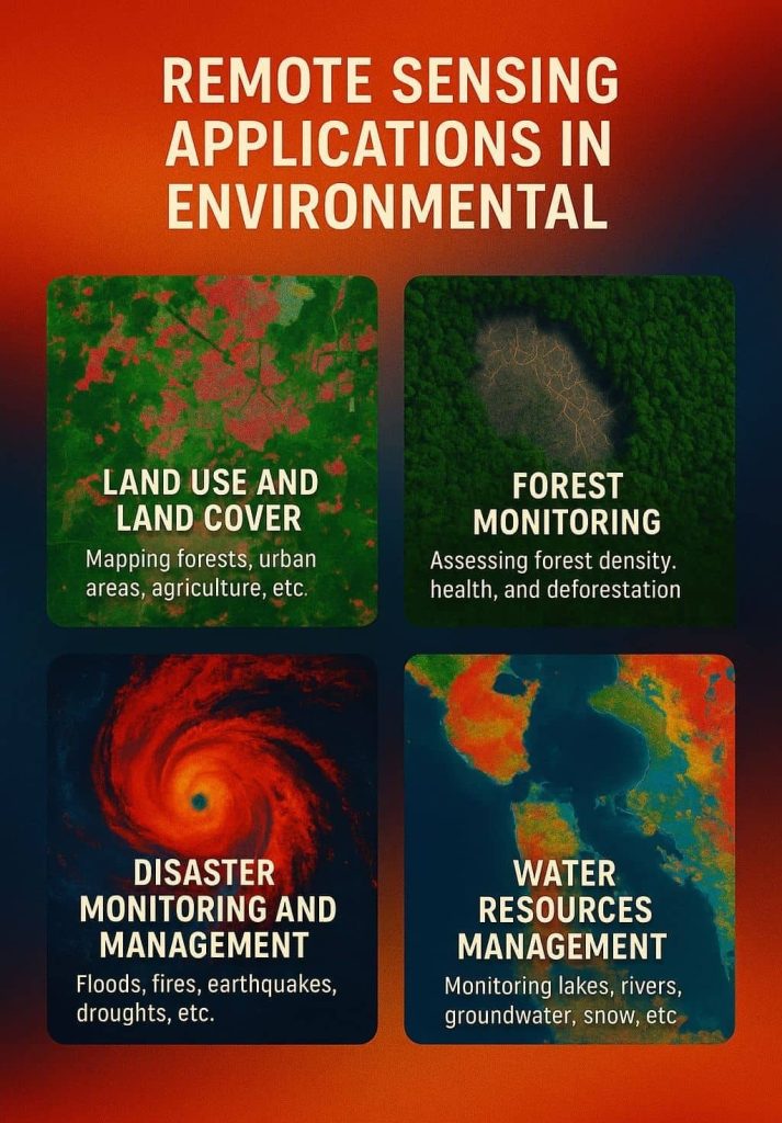
ENVI Software: Download, Install, and Analyze Introduction ENVI, which stands for Environment for Visualizing Images, is a powerful and widely used software developed by L3Harris Geospatial Solutions, launch in 1994. It is specifically designed for the visualization, processing, and analysis of geospatial imagery obtained from satellites, drones, and airborne sensors. ENVI has become an essential […]


